
1962 Map of Lincoln Gulch
USGS Topo · Published 1964About this map
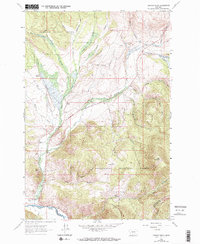
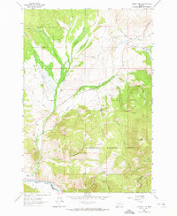
High-altitude ranching and recreational landscapes define this portion of the Montana Rockies, where the Deerlodge National Forest and Beaverhead National Forest meet. The geography is characterized by a series of north-running drainages such as California Creek and Sevenmile Creek that cut through the steep timbered slopes. Evidence of the region's mid-century economic activities is visible in the scattered homesteads like Mule Ranch and Furgerson Ranch, as well as the industrial footprint of a Gravel Pit near French Creek.
Find a feature on this map
36 named features on this map. Tap any name to fly to it.
Don’t see what you’re looking for? This feature index may not catch every label — zoom into the map to look around manually.
Map Details
Editions of this 1962 Lincoln Gulch Map
3 editions found
Other maps of this area

1889 · Helena
USGS Topo · 1:250,000

1893 · Helena
USGS Topo · 1:250,000

1893 · Dillon
USGS Topo · 1:250,000

1899 · Helena
USGS Topo · 1:250,000

1903 · Helena
USGS Topo · 1:250,000

1908 · Philipsburg
USGS Topo · 1:125,000

1947 · Butte
USGS Topo · 1:250,000

1955 · Dillon
USGS Topo · 1:250,000

1957 · Dillon
USGS Topo · 1:250,000

1958 · Butte
USGS Topo · 1:250,000