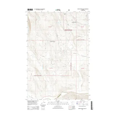
2014 Map of Lower Seymour Lake
USGS Topo · Published 2014About this map
Lower Seymour Lake sits at the heart of this high-elevation mountain terrain where the boundaries of Deerlodge National Forest and Beaverhead National Forest converge. The landscape is defined by its complex drainage network, where the headwaters of the Big Hole River collect runoff from numerous mountain streams including Seymour Creek, Sullivan Creek, and the various forks of La Marche Creek. In the north, Bear Trap Gulch carves into the slopes above the lake. This 2014 survey documents a wilderness primarily managed for conservation and recreation, showing the established US Forest Service road system including Seymour Creek Road and Fishtrap Road. The map also illustrates the administrative transition at the Deer Lodge and Beaverhead County line, reflecting the modern management of these vast public lands.
Find a feature on this map
29 named features on this map. Tap any name to fly to it.
Don’t see what you’re looking for? This feature index may not catch every label — zoom into the map to look around manually.
Map Details
Editions of this 2014 Lower Seymour Lake Map
This is the sole edition of this map. No revisions or reprints were ever made.
Other maps of this area

1908 · Philipsburg
USGS Topo · 1:125,000

1947 · Butte
USGS Topo · 1:250,000

1955 · Dillon
USGS Topo · 1:250,000

1957 · Dillon
USGS Topo · 1:250,000

1958 · Butte
USGS Topo · 1:250,000

1958 · Dillon
USGS Topo · 1:250,000

1960 · Butte
USGS Topo · 1:250,000

1962 · Butte
USGS Topo · 1:250,000

1962 · Dillon
USGS Topo · 1:250,000

1962 · Lincoln Gulch
USGS Topo · 1:24,000