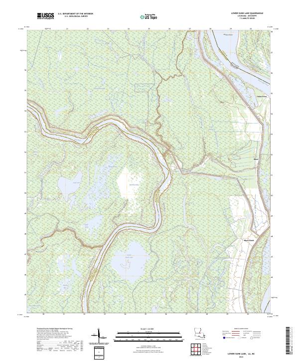
2024 Map of Lower Sunk Lake
USGS Topo · Published 2024About this map
Mississippi River waters define the eastern edge of this Concordia Parish landscape, where the alluvial plain is dominated by a complex network of bayous and wetlands. The central terrain is characterized by the meandering path of the Red River, which carves through the region near Lower Sunk Lake. This area reflects a classic Mississippi Delta environment of swampy lowlands and seasonal water bodies, including the ominously named Dismal Swamp and Devils Swamp.
Find a feature on this map
51 named features on this map. Tap any name to fly to it.
Don’t see what you’re looking for? This feature index may not catch every label — zoom into the map to look around manually.
Map Details
Editions of this 2024 Lower Sunk Lake Map
This is the sole edition of this map. No revisions or reprints were ever made.
Other maps of this area

1935 · Tooleys
USGS Topo · 1:62,500

1939 · Artonish
USGS Topo · 1:62,500

1939 · Deer Park
USGS Topo · 1:62,500

1941 · Voorhies
USGS Topo · 1:62,500

1941 · Tooleys
USGS Topo · 1:62,500

1953 · Natchez
USGS Topo · 1:250,000

1954 · Artonish
USGS Topo · 1:62,500

1955 · Artonish
USGS Topo · 1:62,500

1956 · Natchez
USGS Topo · 1:250,000

1958 · Artonish
USGS Topo · 1:62,500