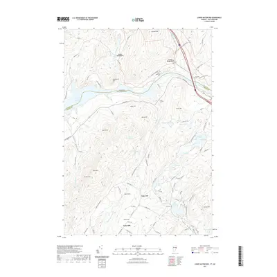
2021 Map of Lower Waterford
USGS Topo · Published 2021About this map
The Connecticut River serves as the prominent boundary between Vermont and New Hampshire in this topographic study, carving a path through the diverse terrain of Grafton and Caledonia counties. The settlement of Lower Waterford sits near the river's edge, supported by a network of smaller communities including West Waterford, Tinkerville, and Sunny Valley. The landscape is characterized by significant elevations such as Gardner Mtn, Chamberlin Mtn, and Signal Mtn, which overlook numerous water bodies like Partridge Lake and Ogontz Lake. This area demonstrates a long-standing rural structure where cemeteries like Lower Waterford Cem and Riverside Cem are situated alongside historic routes such as Lower Waterford Rd and Monroe Rd. The presence of Mining Hill suggests a history of local industry, while the various brooks, including Scarritt Brook and Bill Little Brook, drain the high valleys into the primary river system.
Find a feature on this map
97 named features on this map. Tap any name to fly to it.
Don’t see what you’re looking for? This feature index may not catch every label — zoom into the map to look around manually.
Map Details
Editions of this 2021 Lower Waterford Map
This is the sole edition of this map. No revisions or reprints were ever made.
Other maps of this area

1929 · Moosilauke
USGS Topo · 1:62,500

1931 · Littleton
USGS Topo · 1:62,500

1931 · Woodsville
USGS Topo · 1:48,000

1932 · Littleton
USGS Topo · 1:48,000

1932 · Moosilauke
USGS Topo · 1:62,500

1935 · Woodsville
USGS Topo · 1:62,500

1935 · Littleton
USGS Topo · 1:62,500

1938 · St. Johnsbury
USGS Topo · 1:48,000

1941 · Woodsville
USGS Topo · 1:62,500

1943 · St. Johnsbury
USGS Topo · 1:62,500