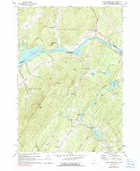
1967 Map of Lower Waterford
USGS Topo · Published 1990About this map
Lower Waterford and the winding Connecticut River define the northern border of this terrain, where New Hampshire and Vermont meet. The landscape is characterized by a series of significant elevations including Gardner Mountain and Chamberlin Mtn, interspersed with numerous ponds such as Partridge Lake and Ogontz Lake. This mid-century survey captures the rural character of Grafton and Caledonia Counties before modern expansion, showing a network of mountain roads like Copenhagen Road and Stickney Road. Local industry and infrastructure are represented by several Gravel Pits, Sandpits, and a Powerplant near the river bend. The map is particularly useful for genealogists, as it identifies several established burial grounds including Riverside Cem and Lower Waterford Cem, alongside smaller settlements like Tinkerville and West Waterford.
Find a feature on this map
58 named features on this map. Tap any name to fly to it.
Don’t see what you’re looking for? This feature index may not catch every label — zoom into the map to look around manually.
Map Details
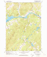
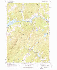
Editions of this 1967 Lower Waterford Map
Other maps of this area

1929 · Moosilauke
USGS Topo · 1:62,500

1931 · Littleton
USGS Topo · 1:62,500

1931 · Woodsville
USGS Topo · 1:48,000

1932 · Littleton
USGS Topo · 1:48,000

1932 · Moosilauke
USGS Topo · 1:62,500

1935 · Woodsville
USGS Topo · 1:62,500

1935 · Littleton
USGS Topo · 1:62,500

1938 · St. Johnsbury
USGS Topo · 1:48,000

1941 · Woodsville
USGS Topo · 1:62,500

1943 · St. Johnsbury
USGS Topo · 1:62,500