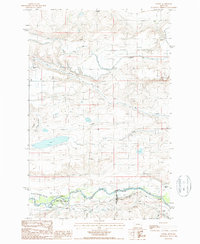
1987 Map of Lowry
USGS Topo · Published 1987About this map
Water management and agricultural infrastructure dominate the landscape of the Montana high plains in the late 1980s. The intricate network of irrigation systems, including the Greenfields Main Canal, Sun River Canal, and Spring Valley Canal, illustrates the intensive engineering required to sustain ranching and farming in this arid region. These man-made waterways cut across natural features like Big Coulee and Loomis Coulee, channeling water from the Teton River toward the dry flats.
Find a feature on this map
22 named features on this map. Tap any name to fly to it.
Don’t see what you’re looking for? This feature index may not catch every label — zoom into the map to look around manually.
Map Details
Editions of this 1987 Lowry Map
This is the sole edition of this map. No revisions or reprints were ever made.
Other maps of this area

1886 · Great Falls
USGS Topo · 1:250,000

1920 · Choteau
USGS Topo · 1:125,000

1943 · Hogan
USGS Topo · 1:125,000

1950 · Fairfield
USGS Topo · 1:62,500

1954 · Great Falls
USGS Topo · 1:250,000

1955 · Choteau
USGS Topo · 1:250,000

1957 · Choteau
USGS Topo · 1:250,000

1957 · Great Falls
USGS Topo · 1:250,000

1958 · Choteau
USGS Topo · 1:250,000

1960 · Simms
USGS Topo · 1:62,500