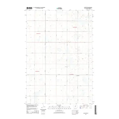
2015 Map of Loyalton
USGS Topo · Published 2015About this map
Loyalton sits as the primary settlement in this stretch of Edmunds County, defined by its traditional Great Plains grid of section roads and scattered prairie wetlands. The community is situated along 145th St, surrounded by an expansive agricultural landscape that reflects the region's long-standing reliance on farming and ranching. To the north, the Loyalton Cem serves as a significant landmark for genealogists and local historians, providing a quiet record of the families who settled this part of South Dakota. The topography is marked by numerous small, intermittent water bodies and depressions, illustrating the glacial heritage of the Missouri Coteau region. This landscape is networked by a systematic grid of gravel and dirt routes, including 345th Ave and 140th St, which facilitate movement between the remote homesteads and town centers typical of early 21st-century rural life.
Find a feature on this map
19 named features on this map. Tap any name to fly to it.
Don’t see what you’re looking for? This feature index may not catch every label — zoom into the map to look around manually.
Map Details
Editions of this 2015 Loyalton Map
This is the sole edition of this map. No revisions or reprints were ever made.
Other maps of this area
1950 · Onaka
USGS Topo · 1:24,000
1951 · Clark Lake
USGS Topo · 1:24,000
1952 · Onaka
USGS Topo · 1:24,000
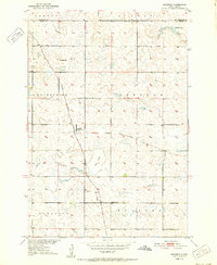
1952 · Norbeck
USGS Topo · 1:24,000
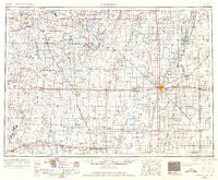
1954 · Aberdeen
USGS Topo · 1:250,000
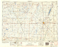
1956 · Aberdeen
USGS Topo · 1:250,000
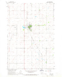
1965 · Onaka
USGS Topo · 1:24,000
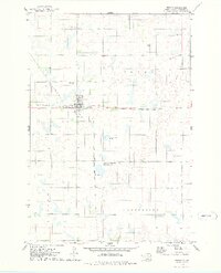
1974 · Roscoe
USGS Topo · 1:24,000
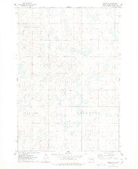
1974 · Roscoe SW
USGS Topo · 1:24,000
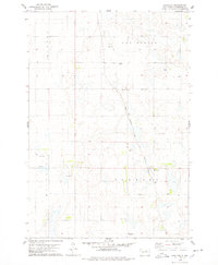
1978 · Loyalton
USGS Topo · 1:24,000