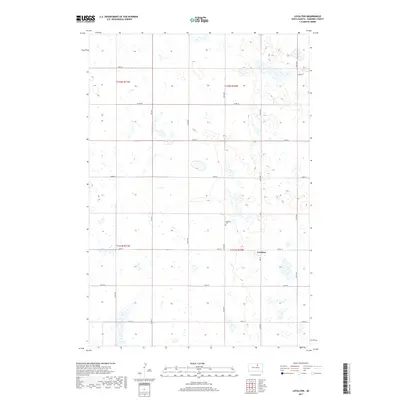
2017 Map of Loyalton
USGS Topo · Published 2017About this map
Loyalton occupies a central position in this prairie landscape of Edmunds County, where the township grid system dictates the movement of people and commerce. The settlement is anchored by local infrastructure such as 3rd St and the nearby Loyalton Cem, serving as a focal point for the surrounding agricultural sections. The terrain is characterized by numerous small, scattered wetlands and depressions that interrupt the otherwise rigid geometric lines of the county road network. Key thoroughfares including Co Rd 20 and Co Rd 7 provide the primary connectivity across this sparsely populated region of South Dakota. The survey also clearly delineates the administrative boundaries of t121n r70w and adjacent townships, reflecting the systematic land division that has defined the Great Plains since the late 19th century.
Find a feature on this map
22 named features on this map. Tap any name to fly to it.
Don’t see what you’re looking for? This feature index may not catch every label — zoom into the map to look around manually.
Map Details
Editions of this 2017 Loyalton Map
This is the sole edition of this map. No revisions or reprints were ever made.
Other maps of this area

1950 · Onaka
USGS Topo · 1:24,000

1951 · Clark Lake
USGS Topo · 1:24,000

1952 · Onaka
USGS Topo · 1:24,000

1952 · Norbeck
USGS Topo · 1:24,000

1954 · Aberdeen
USGS Topo · 1:250,000

1956 · Aberdeen
USGS Topo · 1:250,000

1965 · Onaka
USGS Topo · 1:24,000

1974 · Roscoe
USGS Topo · 1:24,000

1974 · Roscoe SW
USGS Topo · 1:24,000

1978 · Loyalton
USGS Topo · 1:24,000