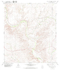
1979 Map of Lozier Canyon North
USGS Topo · Published 1979About this map
Deep drainage networks define this part of the West Texas borderlands, where Lozier Canyon snakes through the desert floor of Terrell County and Val Verde County. The landscape is dominated by dry watercourses including Coyote Canyon, Sevenmile Canyon, and Meyers Canyon, highlighting the complex topography that early infrastructure had to navigate. The Southern Pacific railroad cuts an east-west path across the northern reaches, passing near the settlement of Malvado. Evidence of earlier transport routes is preserved in the label for Old Railroad Grade Canyon, indicating where the rails once shifted to find easier passage through the breaks. Genealogy and local history are anchored by the Lozier Cem, while industrial markers like a Gravel Pit and a Drill Hole point to the extraction and exploration history common to the Trans-Pecos region.
Find a feature on this map
19 named features on this map. Tap any name to fly to it.
Don’t see what you’re looking for? This feature index may not catch every label — zoom into the map to look around manually.
Map Details
Editions of this 1979 Lozier Canyon North Map
This is the sole edition of this map. No revisions or reprints were ever made.
Other maps of this area

1943 · Malvado
USGS Topo · 1:62,500

1943 · Langtry
USGS Topo · 1:62,500

1944 · Malvado
USGS Topo · 1:62,500

1954 · Sonora
USGS Topo · 1:250,000

1958 · Sonora
USGS Topo · 1:250,000

1958 · Del Rio
USGS Topo · 1:250,000

1964 · Del Rio
USGS Topo · 1:250,000
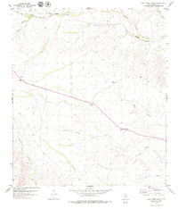
1979 · Cook Creek North
USGS Topo · 1:24,000
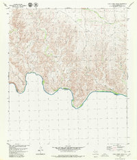
1979 · Cook Creek South
USGS Topo · 1:24,000
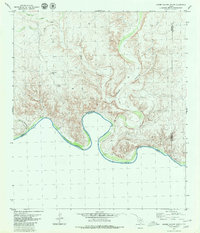
1979 · Lozier Canyon South
USGS Topo · 1:24,000