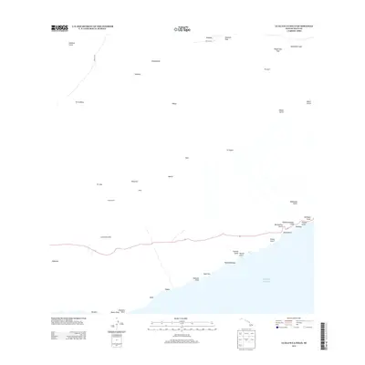
2013 Map of Lualailua Hills
USGS Topo · Published 2013About this map
The Luala'ilua Hills anchor the rugged southern slope of Maui in this 2013 topographic study, where the island's volcanic architecture descends sharply toward the Pacific Ocean. The landscape is defined by an intricate network of drainage channels, including Pāhihi Gulch, Wailaulau Gulch, and the prominent Manawainui Gulch that carve through the arid terrain. High-altitude landmarks such as Haleakalā Crater and Haupa'akea Peak loom at the northern extent, while the Skyline Trl and Waipoli Rd provide rare access to the interior. Along the coastline, scattered coastal points and settlements like Alena, Kipapa, and Naka'aha mark the historic interface between the upland volcanic fields and the sea. The presence of the Kula Pipeline indicates the vital infrastructure required to manage water resources across this dry, windward region.
Find a feature on this map
42 named features on this map. Tap any name to fly to it.
Don’t see what you’re looking for? This feature index may not catch every label — zoom into the map to look around manually.
Map Details
Editions of this 2013 Lualailua Hills Map
This is the sole edition of this map. No revisions or reprints were ever made.
Other maps of this area

1954 · Maui
USGS Topo · 1:250,000

1954 · Puu O Kali
USGS Topo · 1:24,000

1954 · Makena
USGS Topo · 1:24,000

1957 · Kilohana
USGS Topo · 1:24,000

1957 · Lualailua Hills
USGS Topo · 1:24,000

1957 · Nahiku
USGS Topo · 1:24,000

1957 · Kaupo
USGS Topo · 1:24,000

1966 · Maui
USGS Topo · 1:250,000

1974 · Maui
USGS Topo · 1:250,000
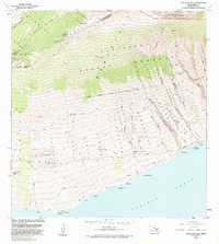
1983 · Lualailua Hills
USGS Topo · 1:24,000