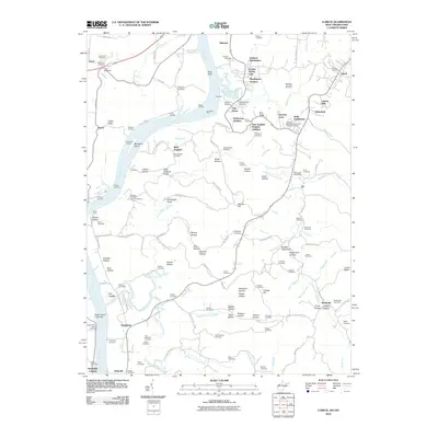
2010 Map of Lubeck
USGS Topo · Published 2010About this map
The Ohio River forms the dominant geographic corridor for this region south of Parkersburg, defining a landscape shaped by river landings and small valley settlements. Along the western bank, the map records a string of transit points including Duttons Landing, Parkers Landing, and the Harris Ferry crossing. These riverfront sites historically linked the interior ridges of Wood County to the water-borne commerce of the valley.
Find a feature on this map
146 named features on this map. Tap any name to fly to it.
Don’t see what you’re looking for? This feature index may not catch every label — zoom into the map to look around manually.
Map Details
Editions of this 2010 Lubeck Map
This is the sole edition of this map. No revisions or reprints were ever made.
Other maps of this area

1902 · Parkersburg
USGS Topo · 1:62,500

1904 · Parkersburg
USGS Topo · 1:62,500

1904 · Chesterhill
USGS Topo · 1:62,500

1906 · Belleville
USGS Topo · 1:62,500

1906 · Chesterhill
USGS Topo · 1:62,500

1907 · Keno
USGS Topo · 1:62,500

1924 · Belleville
USGS Topo · 1:62,500

1926 · Belleville
USGS Topo · 1:62,500

1949 · Clarksburg
USGS Topo · 1:250,000

1956 · Clarksburg
USGS Topo · 1:250,000