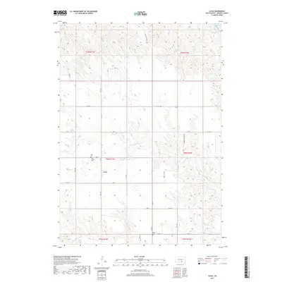
2017 Map of Lucas
USGS Topo · Published 2017About this map
The Missouri River flows along the northeastern corner of this South Dakota landscape, shaping the character of Gregory County through the expansive Lake Francis Case. This survey reveals the rural settlement of Lucas, a community defined by its network of township roads and agricultural sections. The drainage patterns are dominated by the winding paths of N Fork Whetstone Cr and S Fork Whetstone Cr, which carve through the high plains. For those interested in local genealogy, several burial sites are documented across the townships, including the Lucas Cem, Lucas Catholic Cem, and the remote Petersen Cem to the south. The road network preserves historical routes such as the Old 1806 Rd and Scissons Township Hwy, reflecting the enduring path of travel in this river-border region.
Find a feature on this map
39 named features on this map. Tap any name to fly to it.
Don’t see what you’re looking for? This feature index may not catch every label — zoom into the map to look around manually.
Map Details
Editions of this 2017 Lucas Map
This is the sole edition of this map. No revisions or reprints were ever made.
Other maps of this area
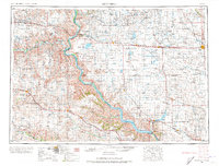
1955 · Mitchell
USGS Topo · 1:250,000
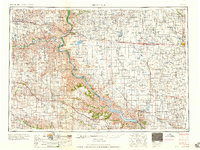
1959 · Mitchell
USGS Topo · 1:250,000
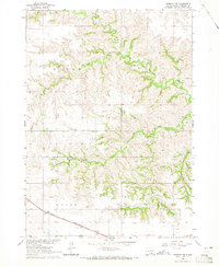
1964 · Herrick NW
USGS Topo · 1:24,000
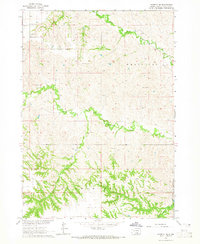
1964 · Herrick NE
USGS Topo · 1:24,000
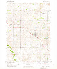
1964 · Burke
USGS Topo · 1:24,000
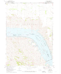
1971 · Lucas NW
USGS Topo · 1:24,000
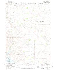
1971 · Academy
USGS Topo · 1:24,000
1971 · Lucas
USGS Topo · 1:24,000
1971 · Dixon SE
USGS Topo · 1:24,000
1971 · Dixon NE
USGS Topo · 1:24,000