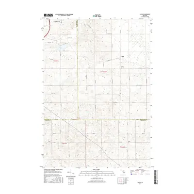
2017 Map of Lucas
USGS Topo · Published 2017About this map
Lucas sits at the heart of this landscape, marking a rural crossroads at the junction of Wexford, Missaukee, and Osceola Counties. The terrain is defined by a dense grid of section roads and small water bodies like Berry Lake and Marks Cr. This late-period survey illustrates a highly developed agricultural and residential network, where legacy landmarks such as Richland Cem and Hillside Cem provide clear points of reference for local family history and genealogy. The map shows the southeastern edge of Cadillac in the upper left, while major local corridors like McBain Rd and Stoney Corners Rd connect the scattered farmsteads and rural residences. The detailed elevation work reveals the undulating topography of the High Plains, where drainage patterns and small wetlands dictate the placement of earlier trails and modern roads.
Find a feature on this map
57 named features on this map. Tap any name to fly to it.
Don’t see what you’re looking for? This feature index may not catch every label — zoom into the map to look around manually.
Map Details
Editions of this 2017 Lucas Map
This is the sole edition of this map. No revisions or reprints were ever made.
Other maps of this area

1954 · Traverse City
USGS Topo · 1:250,000

1956 · Cadillac North
USGS Topo · 1:62,500

1956 · Lake City
USGS Topo · 1:62,500

1957 · Cadillac South
USGS Topo · 1:62,500

1957 · Marion
USGS Topo · 1:62,500

1958 · Traverse City
USGS Topo · 1:250,000
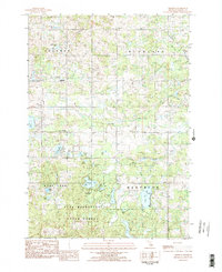
1983 · Dighton
USGS Topo · 1:25,000

1983 · Cadillac
USGS Topo · 1:100,000
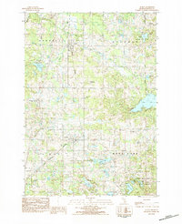
1983 · Le Roy
USGS Topo · 1:25,000

1983 · Lake City
USGS Topo · 1:25,000