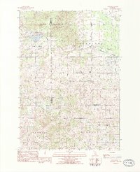
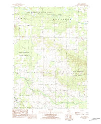
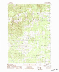
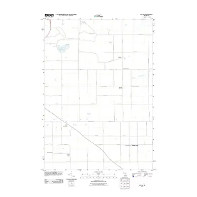
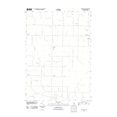
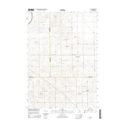
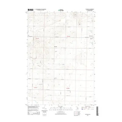
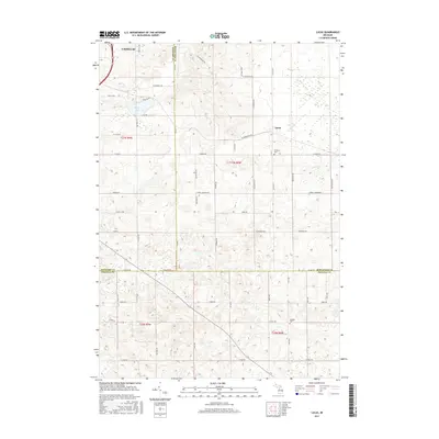
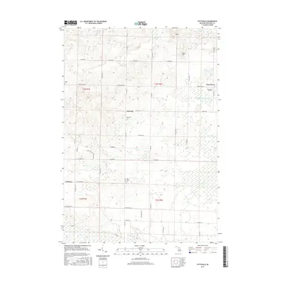
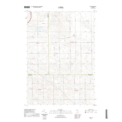
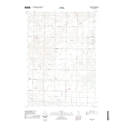
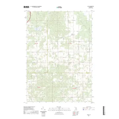
1983 Map of Lucas
USGS Topo · Published 1984About this map
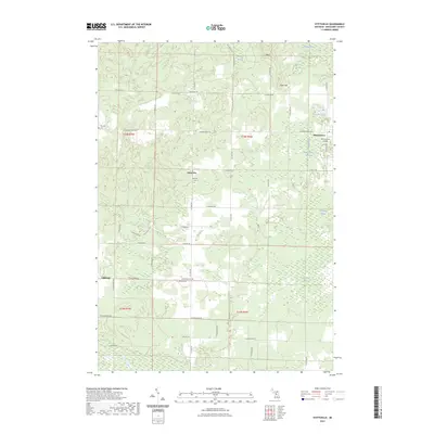
Pere Marquette State Forest dominates the northern landscape of this region, where the wooded expanse meets the agricultural grids of Richland and Sherman townships. The local economy and movement during this early 1980s period are defined by the Michigan Northern railroad corridor, which serves the primary settlement of Lucas. This map captures a rural Michigan community at a point of stability, where small settlements like Stoney Corner and Highland provide local landmarks for surrounding farms.
Find a feature on this map
27 named features on this map. Tap any name to fly to it.
Don’t see what you’re looking for? This feature index may not catch every label — zoom into the map to look around manually.
Map Details
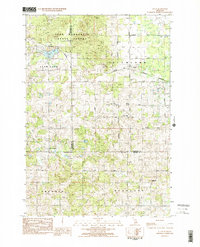
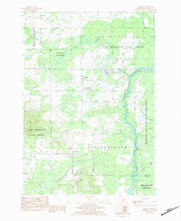
Editions of this 1983 Lucas Map
2 editions found
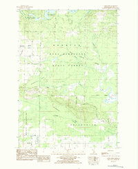
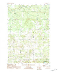
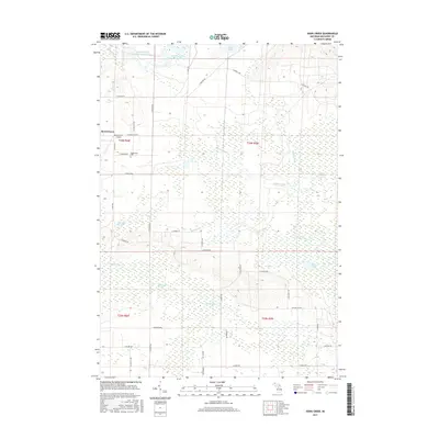
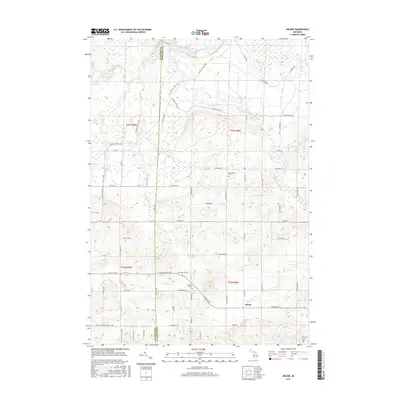
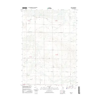
Historical Maps of Cadillac Through Time
48 maps found
1983 Addis Creek
Missaukee County, MI
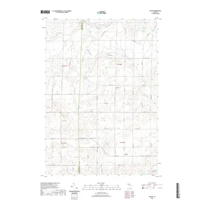
1983 Arlene
Missaukee County, MI
1983 Dinca
Missaukee County, MI
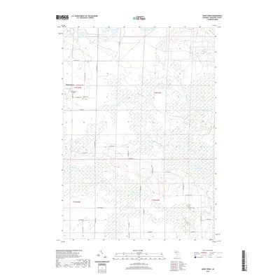
1983 Lucas
Missaukee County, MI
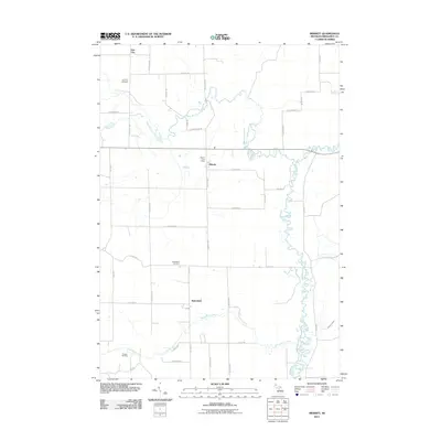
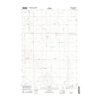
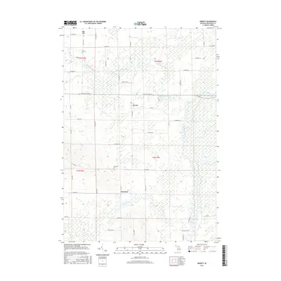
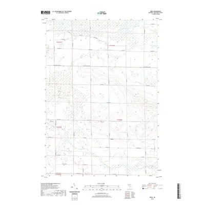
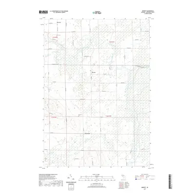
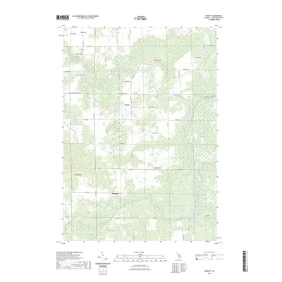
1983 Merritt
Missaukee County, MI
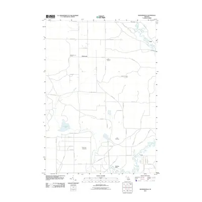
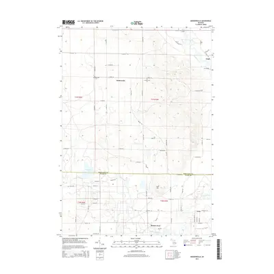
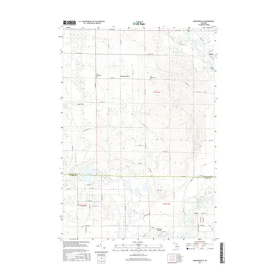
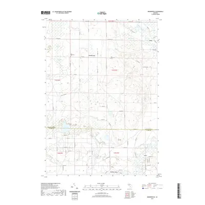
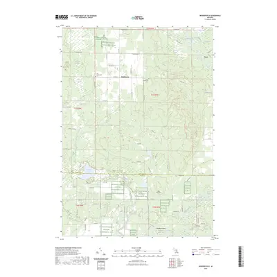
1983 Moddersville
Missaukee County, MI
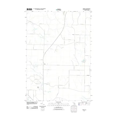
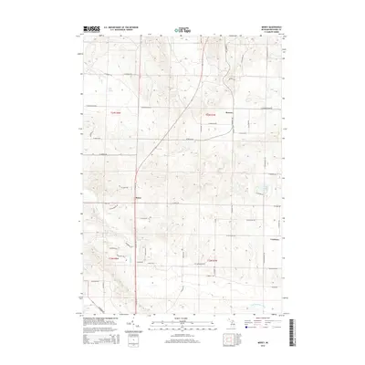
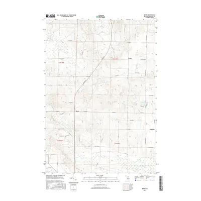
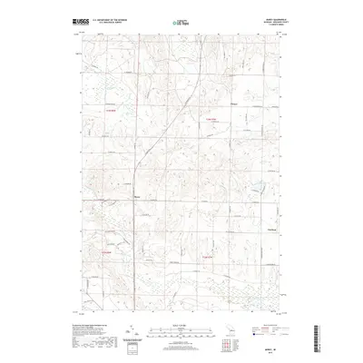
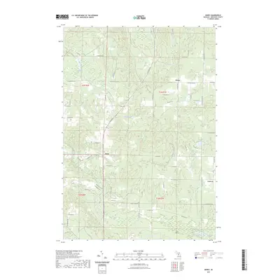
1983 Morey
Missaukee County, MI
1983 Stittsville
Missaukee County, MI
2011 Addis Creek
Missaukee County, MI
2011 Arlene
Missaukee County, MI
2011 Dinca
Missaukee County, MI
2011 Lucas
Missaukee County, MI
2011 Merritt
Missaukee County, MI
2011 Moddersville
Missaukee County, MI
2011 Morey
Missaukee County, MI
2011 Stittsville
Missaukee County, MI
2014 Addis Creek
Missaukee County, MI
2014 Arlene
Missaukee County, MI
2014 Dinca
Missaukee County, MI
2014 Lucas
Missaukee County, MI
2014 Merritt
Missaukee County, MI
2014 Moddersville
Missaukee County, MI
2014 Morey
Missaukee County, MI
2014 Stittsville
Missaukee County, MI
2017 Addis Creek
Missaukee County, MI
2017 Arlene
Missaukee County, MI
2017 Dinca
Missaukee County, MI
2017 Lucas
Missaukee County, MI
2017 Merritt
Missaukee County, MI
2017 Moddersville
Missaukee County, MI
2017 Morey
Missaukee County, MI
2017 Stittsville
Missaukee County, MI
2019 Addis Creek
Missaukee County, MI
2019 Arlene
Missaukee County, MI
2019 Dinca
Missaukee County, MI
2019 Lucas
Missaukee County, MI
2019 Merritt
Missaukee County, MI
2019 Moddersville
Missaukee County, MI
2019 Morey
Missaukee County, MI
2019 Stittsville
Missaukee County, MI
2023 Addis Creek
Missaukee County, MI
2023 Arlene
Missaukee County, MI
2023 Dinca
Missaukee County, MI
2023 Lucas
Missaukee County, MI
2023 Merritt
Missaukee County, MI
2023 Moddersville
Missaukee County, MI
2023 Morey
Missaukee County, MI
2023 Stittsville
Missaukee County, MI
Featured Locations
- Cadillac, MI
- Clam Lake Township, MI
- Sherman Township, MI
- Stoney Corner, Richland Township
- Highland, Highland Township