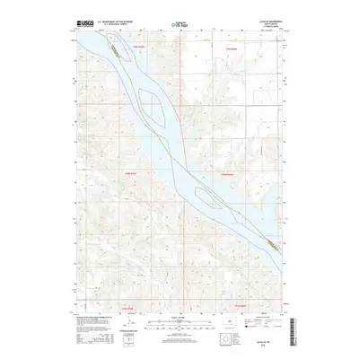
2015 Map of Lucas SE
USGS Topo · Published 2015About this map
Lake Francis Case dominates this landscape along the border of Charles Mix and Gregory Counties, where the modern reservoir has transformed the ancient path of the Missouri River. The terrain is defined by the deep drainage patterns of the Fivemile Cr system to the northeast and the N Fork Whetstone Cr to the southwest, carving through the high plains. While the waters of the dammed Missouri have submerged the low-lying shoreline of the mid-20th century, the upland remains a network of section-line roads and ranching tracks. Local travel is facilitated by Sd-1806 and family-named routes such as Wynia Ranch Rd and Bh Rd, reflecting the sparse but enduring agrarian settlement of this river-bluff region.
Find a feature on this map
18 named features on this map. Tap any name to fly to it.
Don’t see what you’re looking for? This feature index may not catch every label — zoom into the map to look around manually.
Map Details
Editions of this 2015 Lucas SE Map
This is the sole edition of this map. No revisions or reprints were ever made.
Other maps of this area

1955 · Mitchell
USGS Topo · 1:250,000

1959 · Mitchell
USGS Topo · 1:250,000

1964 · Herrick NW
USGS Topo · 1:24,000

1964 · Herrick NE
USGS Topo · 1:24,000

1964 · Whetstone Bay
USGS Topo · 1:24,000

1971 · Lucas NW
USGS Topo · 1:24,000

1971 · Academy
USGS Topo · 1:24,000

1971 · Lucas
USGS Topo · 1:24,000

1971 · Lucas SE
USGS Topo · 1:24,000

1979 · Castalia
USGS Topo · 1:24,000
Featured Places
- Hamilton Township, SD
- La Roche Township, SD
- Castalia Township, SD
- Milk's Camp Segment, SD
- Charles Mix County, SD