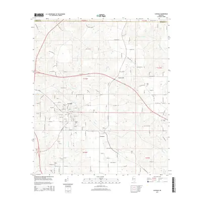
2015 Map of Lucedale
USGS Topo · Published 2015About this map
Lucedale serves as the central hub of this George County landscape, situated at the intersection of several local routes and historical rail corridors. The town layout is densely marked with community landmarks, including Rhymes Cem, Northside Cem, and the Magnolia Garden Cem. Just to the southeast lies Evanston, a smaller settlement positioned near the confluence of Depot Cr and other local waterways. The surrounding rural landscape is defined by family-named landmarks and an extensive network of creeks, such as Beaverdam Cr and Little Cedar Cr, which drain the undulating terrain.
Find a feature on this map
132 named features on this map. Tap any name to fly to it.
Don’t see what you’re looking for? This feature index may not catch every label — zoom into the map to look around manually.
Map Details
Editions of this 2015 Lucedale Map
This is the sole edition of this map. No revisions or reprints were ever made.
Other maps of this area
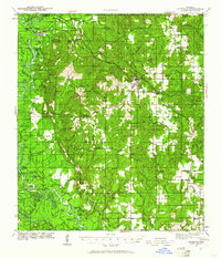
1941 · Lucedale
USGS Topo · 1:62,500
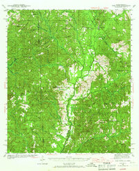
1942 · Deer Park
USGS Topo · 1:62,500
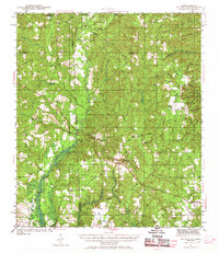
1942 · Wilmer
USGS Topo · 1:62,500
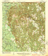
1943 · Lucedale
USGS Topo · 1:62,500
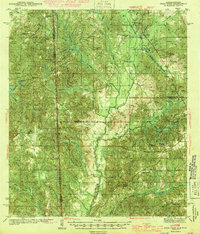
1943 · Deer Park
USGS Topo · 1:62,500
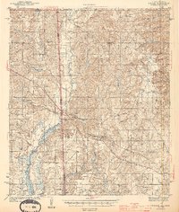
1944 · Wilmer
USGS Topo · 1:62,500
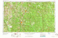
1953 · Hattiesburg
USGS Topo · 1:250,000
1953 · Mobile
USGS Topo · 1:250,000
1957 · Mobile
USGS Topo · 1:250,000
1958 · Hattiesburg
USGS Topo · 1:250,000