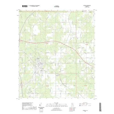
2020 Map of Lucedale
USGS Topo · Published 2020About this map
The George County Courthouse serves as the central anchor of Lucedale, where a grid of streets like Main St and Oak St meets a web of rural roads named for established local families. To the south, the community of Evanston sits near the crossing of Depot Creek, illustrating the historical reliance on these small watercourses. This modern survey documents a landscape where agricultural heritage and civic infrastructure coexist, seen in the numerous family burial grounds and community cemeteries scattered throughout the county, including the Banyard Family Cem and Taylor Cem. The terrain is defined by a dense network of drainages such as Beaverdam Creek and Denny Mill Creek, which flow through the piney woods of southeastern Mississippi. Notable regional aviation is represented by Bird Nest Airport in the northeast, while the southern reaches are marked by the New Antioch Cem and Gardner Cem.
Find a feature on this map
153 named features on this map. Tap any name to fly to it.
Don’t see what you’re looking for? This feature index may not catch every label — zoom into the map to look around manually.
Map Details
Editions of this 2020 Lucedale Map
This is the sole edition of this map. No revisions or reprints were ever made.
Other maps of this area

1941 · Lucedale
USGS Topo · 1:62,500

1942 · Deer Park
USGS Topo · 1:62,500

1942 · Wilmer
USGS Topo · 1:62,500

1943 · Lucedale
USGS Topo · 1:62,500

1943 · Deer Park
USGS Topo · 1:62,500

1944 · Wilmer
USGS Topo · 1:62,500

1953 · Hattiesburg
USGS Topo · 1:250,000

1953 · Mobile
USGS Topo · 1:250,000

1957 · Mobile
USGS Topo · 1:250,000

1958 · Hattiesburg
USGS Topo · 1:250,000