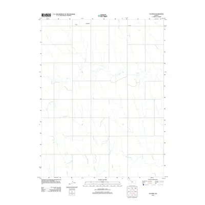
2012 Map of Lucerne
USGS Topo · Published 2012About this map
Lucerne sits at the northern edge of this Sheridan County landscape, where the high plains are carved by a dense network of seasonal drainages. The map records a quiet agricultural era defined by the winding course of Bow Cr and its many tributaries, including S Bow Cr and Antelope Cr. This drainage system creates a broken topography that dictates the placement of rural roads and homesteads across the quadrangle. Genealogists and local historians can locate the Lucerne Cem just west of the town site, a primary landmark for tracing early families in this part of Kansas. The infrastructure is minimal, centered on a grid of section-line roads like Co RD-380, which connects the scattered farmsteads to the broader region during the early twenty-first century.
Find a feature on this map
9 named features on this map. Tap any name to fly to it.
Don’t see what you’re looking for? This feature index may not catch every label — zoom into the map to look around manually.
Map Details
Editions of this 2012 Lucerne Map
This is the sole edition of this map. No revisions or reprints were ever made.
Other maps of this area

1954 · Goodland
USGS Topo · 1:250,000

1956 · Goodland
USGS Topo · 1:250,000

1957 · Goodland
USGS Topo · 1:250,000

1978 · Clayton SW
USGS Topo · 1:24,000

1978 · Allison
USGS Topo · 1:24,000

1978 · Lenora West
USGS Topo · 1:24,000

1979 · Lucerne
USGS Topo · 1:24,000

1979 · Morland
USGS Topo · 1:24,000

1979 · Hoxie NE
USGS Topo · 1:24,000

1979 · Tasco
USGS Topo · 1:24,000