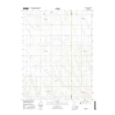
2015 Map of Lucerne
USGS Topo · Published 2015About this map
Lucerne sits at the intersection of rural section roads in this part of Northwest Kansas, serving as the primary point of settlement in an area defined by a web of intermittent creek drainages. The landscape is carved by the winding courses of Bow Cr and S Bow Cr to the north, while Antelope Cr and Storer Cr traverse the southern reaches. This 2015 survey illustrates a persistent agricultural layout, where the rectangular survey system remains the dominant influence on human activity. Genealogists will find the Lucerne Cem north of the main settlement, a critical landmark for tracing family roots in this corner of Sheridan County. The proximity to the Sheridan Co Graham Co boundary to the east suggests the map’s importance for understanding regional ties between these two rural jurisdictions.
Find a feature on this map
29 named features on this map. Tap any name to fly to it.
Don’t see what you’re looking for? This feature index may not catch every label — zoom into the map to look around manually.
Map Details
Editions of this 2015 Lucerne Map
This is the sole edition of this map. No revisions or reprints were ever made.
Other maps of this area

1954 · Goodland
USGS Topo · 1:250,000

1956 · Goodland
USGS Topo · 1:250,000

1957 · Goodland
USGS Topo · 1:250,000
1978 · Clayton SW
USGS Topo · 1:24,000
1978 · Allison
USGS Topo · 1:24,000
1978 · Lenora West
USGS Topo · 1:24,000
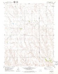
1979 · Lucerne
USGS Topo · 1:24,000
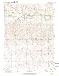
1979 · Morland
USGS Topo · 1:24,000
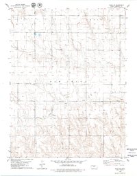
1979 · Hoxie NE
USGS Topo · 1:24,000
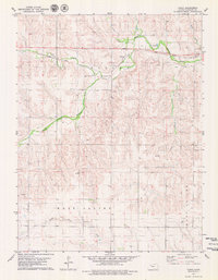
1979 · Tasco
USGS Topo · 1:24,000