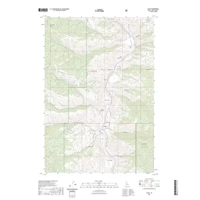
2023 Map of Lucile
USGS Topo · Published 2023About this map
The Salmon River cuts a deep path through Idaho County, anchoring a landscape defined by riverside benches and steep timbered slopes. In this canyon environment, the small settlement of Lucile sits on the eastern bank, connected to the wider region by a corridor of local roads and river-side landings known locally as bars. These level deposits, such as Sherwin Bar and Twilegar Bar, provided the essential flat ground for settlement and agriculture in otherwise vertical terrain.
Find a feature on this map
59 named features on this map. Tap any name to fly to it.
Don’t see what you’re looking for? This feature index may not catch every label — zoom into the map to look around manually.
Map Details
Editions of this 2023 Lucile Map
This is the sole edition of this map. No revisions or reprints were ever made.
Other maps of this area
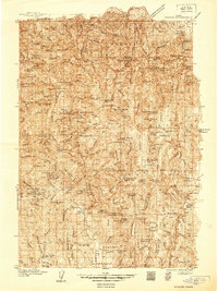
1938 · Riggins
USGS Topo · 1:96,000
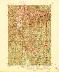
1945 · Riggins
USGS Topo · 1:125,000
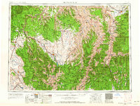
1955 · Grangeville
USGS Topo · 1:250,000
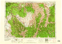
1959 · Grangeville
USGS Topo · 1:250,000
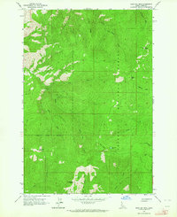
1963 · John Day Mtn
USGS Topo · 1:24,000
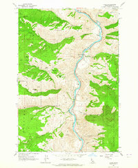
1963 · Lucile
USGS Topo · 1:24,000
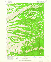
1963 · McKinzie Creek
USGS Topo · 1:24,000
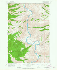
1963 · Slate Creek
USGS Topo · 1:24,000
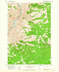
1963 · Kirkwood Creek
USGS Topo · 1:24,000
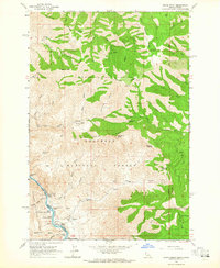
1963 · Grave Point
USGS Topo · 1:24,000