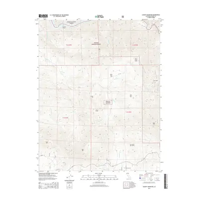
2015 Map of Luckett Mountain
USGS Topo · Published 2015About this map
The Sierra Nevada mountain range dominates this 2015 study of Fresno County, where the high-altitude terrain transitions between the Sierra National Forest and Sequoia National Forest. The landscape is defined by massive peaks and ridgelines, notably Luckett Mountain and Oat Mountain, and is dissected by a complex network of waterways including the Kings River and White Deer Creek.
Find a feature on this map
42 named features on this map. Tap any name to fly to it.
Don’t see what you’re looking for? This feature index may not catch every label — zoom into the map to look around manually.
Map Details
Editions of this 2015 Luckett Mountain Map
This is the sole edition of this map. No revisions or reprints were ever made.
Other maps of this area
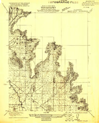
1921 · Squaw Valley
USGS Topo · 1:31,680
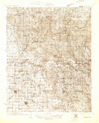
1922 · Trimmer
USGS Topo · 1:96,000
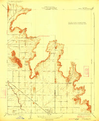
1924 · Citrus Cove
USGS Topo · 1:31,680
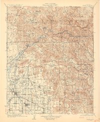
1924 · Dinuba
USGS Topo · 1:125,000
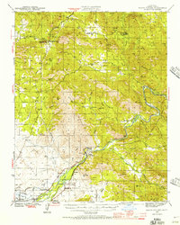
1942 · Watts Valley
USGS Topo · 1:62,500
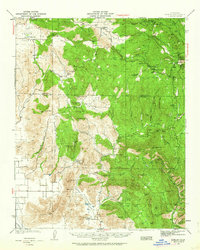
1942 · Dunlap
USGS Topo · 1:62,500
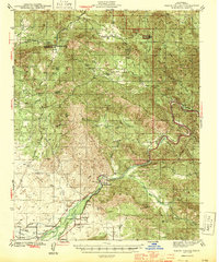
1944 · Watts Valley
USGS Topo · 1:62,500
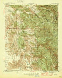
1944 · Dunlap
USGS Topo · 1:62,500
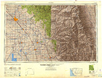
1948 · Fresno
USGS Topo · 1:250,000
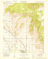
1950 · Orange Cove North
USGS Topo · 1:24,000