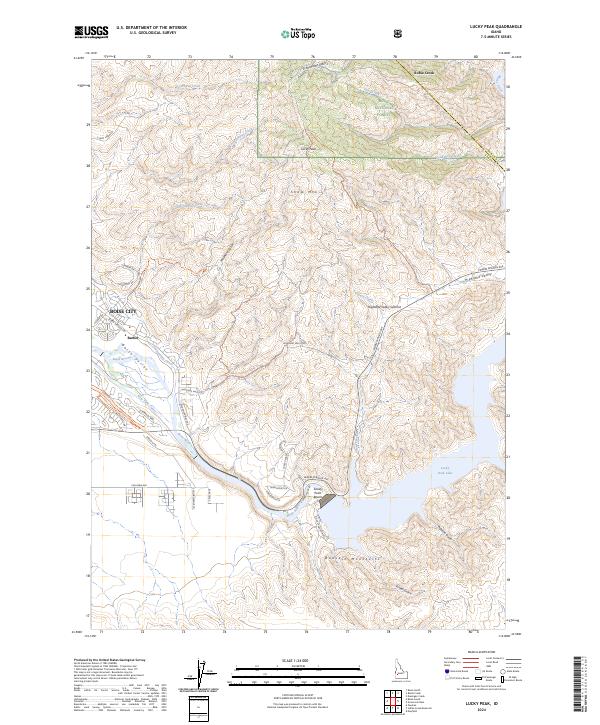
2024 Map of Lucky Peak
USGS Topo · Published 2024About this map
Boise City expands eastward toward the foothills of the Danskin Mountains in this modern survey of Ada County. The landscape is defined by the transition from urban development near Barber to the high elevations of Lucky Peak and Shaw Mtn within the Boise National Forest. A complex network of irrigation and water management is visible, including the Penitentiary Canal and New York Canal which parallel the Boise River.
Find a feature on this map
47 named features on this map. Tap any name to fly to it.
Don’t see what you’re looking for? This feature index may not catch every label — zoom into the map to look around manually.
Map Details
Editions of this 2024 Lucky Peak Map
This is the sole edition of this map. No revisions or reprints were ever made.
Other maps of this area

1892 · Mountain Home
USGS Topo · 1:125,000

1892 · Boise
USGS Topo · 1:125,000

1892 · Bisuka
USGS Topo · 1:125,000

1893 · Mountain Home
USGS Topo · 1:125,000

1894 · Bisuka
USGS Topo · 1:125,000

1894 · Idaho Basin
USGS Topo · 1:125,000

1897 · Boise
USGS Topo · 1:125,000

1949 · Robie Creek
USGS Topo · 1:24,000

1954 · Boise South
USGS Topo · 1:24,000

1954 · Boise North
USGS Topo · 1:24,000