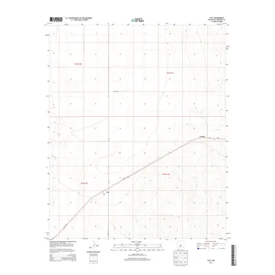
2013 Map of Lucy
USGS Topo · Published 2013About this map
Lucy and the small settlement of Culebra occupy this high-plains landscape of Torrance County during the early 21st century. The map reveals a transition between the open township sections of t6n r10e and the rising contours of the eastern terrain. This survey provides specific spatial documentation for family researchers interested in the Lucy Cem, which sits just north of the junction between Lucy Rd and Co Road B033. The primary transit artery of Us-60 bisects the region diagonally, connecting these rural outposts. Local access is maintained through a grid of established routes including Co Road A129, which serves the northern reaches of the quadrangle. The topography is defined by subtle drainage patterns and elevation changes across the four converging township boundaries.
Find a feature on this map
11 named features on this map. Tap any name to fly to it.
Don’t see what you’re looking for? This feature index may not catch every label — zoom into the map to look around manually.
Map Details
Editions of this 2013 Lucy Map
This is the sole edition of this map. No revisions or reprints were ever made.
Other maps of this area
1954 · Fort Sumner
USGS Topo · 1:250,000
1958 · Fort Sumner
USGS Topo · 1:250,000
1960 · Lobo Hill
USGS Topo · 1:62,500
1978 · Laguna Del Perro North
USGS Topo · 1:24,000
1978 · Negra SW
USGS Topo · 1:24,000
1978 · Pedernal Mountain
USGS Topo · 1:24,000
1978 · Pedernal
USGS Topo · 1:24,000
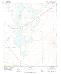
1978 · Laguna Del Perro South
USGS Topo · 1:24,000
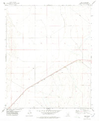
1978 · Lucy
USGS Topo · 1:24,000
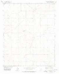
1978 · Rattlesnake Hill
USGS Topo · 1:24,000