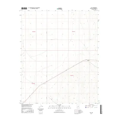
2017 Map of Lucy
USGS Topo · Published 2017About this map
The high desert plains of Lucy and Culebra are defined by a network of rural county roads that follow the township and range survey lines of Torrance County. Situated at an elevation around 6,200 feet, the landscape is marked by the central Lucy Cem, a significant landmark for genealogists tracing families in this part of the Estancia Valley. The area's spatial organization is dictated by long-standing survey boundaries, including t6n r10e and t5n r11e, which historically governed land claims and homesteading. Transportation through this arid terrain relies on routes such as Lucy Rd and Co Rd A128, which connect these small settlements across the undulating topography of the New Mexico interior.
Find a feature on this map
13 named features on this map. Tap any name to fly to it.
Don’t see what you’re looking for? This feature index may not catch every label — zoom into the map to look around manually.
Map Details
Editions of this 2017 Lucy Map
This is the sole edition of this map. No revisions or reprints were ever made.
Other maps of this area

1954 · Fort Sumner
USGS Topo · 1:250,000

1958 · Fort Sumner
USGS Topo · 1:250,000

1960 · Lobo Hill
USGS Topo · 1:62,500

1978 · Laguna Del Perro North
USGS Topo · 1:24,000

1978 · Negra SW
USGS Topo · 1:24,000

1978 · Pedernal Mountain
USGS Topo · 1:24,000

1978 · Pedernal
USGS Topo · 1:24,000

1978 · Laguna Del Perro South
USGS Topo · 1:24,000

1978 · Lucy
USGS Topo · 1:24,000

1978 · Rattlesnake Hill
USGS Topo · 1:24,000