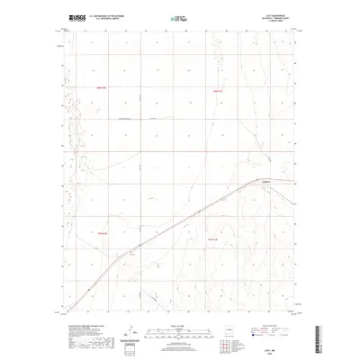
2020 Map of Lucy
USGS Topo · Published 2020About this map
Culebra stands as a focal point in this high-desert landscape of Torrance County, situated along a prominent transportation corridor that bisects the terrain. This 2020 survey highlights the rural infrastructure of central New Mexico, where the grid of public land survey boundaries meets a network of local thoroughfares such as Lucy Rd and Co Rd B083 N. The landscape is characterized by its isolation and the presence of the Lucy Cem, a significant site for local genealogy and regional history. While the area is largely defined by open expanses, the naming of residential and county roads like Whispering Pines Rd W and Co Rd C043 suggests a community structure tied to both the historic path of the highway and the sprawling ranch lands that dominate this portion of the Estancia Valley.
Find a feature on this map
14 named features on this map. Tap any name to fly to it.
Don’t see what you’re looking for? This feature index may not catch every label — zoom into the map to look around manually.
Map Details
Editions of this 2020 Lucy Map
This is the sole edition of this map. No revisions or reprints were ever made.
Other maps of this area

1954 · Fort Sumner
USGS Topo · 1:250,000

1958 · Fort Sumner
USGS Topo · 1:250,000

1960 · Lobo Hill
USGS Topo · 1:62,500

1978 · Laguna Del Perro North
USGS Topo · 1:24,000

1978 · Negra SW
USGS Topo · 1:24,000

1978 · Pedernal Mountain
USGS Topo · 1:24,000

1978 · Pedernal
USGS Topo · 1:24,000

1978 · Laguna Del Perro South
USGS Topo · 1:24,000

1978 · Lucy
USGS Topo · 1:24,000

1978 · Rattlesnake Hill
USGS Topo · 1:24,000