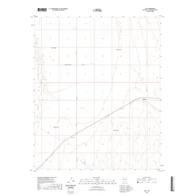
2023 Map of Lucy
USGS Topo · Published 2023About this map
Lucy Cem and the small settlement of Culebra are the primary points of interest in this high-desert portion of Torrance County. The terrain is characterized by broad topographic contours and a series of dry basins and depressions, typical of the central New Mexico plains. This recent data shows a landscape dominated by a network of county roads including Co Rd A129, Co Rd B083 N, and Lucy Rd, which carve a grid across the township and range boundaries of t5n r10e and t6n r11e. The presence of residential naming such as Whispering Pines Rd W suggests contemporary rural development amidst the vast grazing lands and playas of the Estancia Valley region.
Find a feature on this map
14 named features on this map. Tap any name to fly to it.
Don’t see what you’re looking for? This feature index may not catch every label — zoom into the map to look around manually.
Map Details
Editions of this 2023 Lucy Map
This is the sole edition of this map. No revisions or reprints were ever made.
Other maps of this area

1954 · Fort Sumner
USGS Topo · 1:250,000

1958 · Fort Sumner
USGS Topo · 1:250,000

1960 · Lobo Hill
USGS Topo · 1:62,500

1978 · Laguna Del Perro North
USGS Topo · 1:24,000

1978 · Negra SW
USGS Topo · 1:24,000

1978 · Pedernal Mountain
USGS Topo · 1:24,000

1978 · Pedernal
USGS Topo · 1:24,000

1978 · Laguna Del Perro South
USGS Topo · 1:24,000

1978 · Lucy
USGS Topo · 1:24,000

1978 · Rattlesnake Hill
USGS Topo · 1:24,000