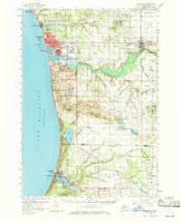
1959 Map of Ludington
USGS Topo · Published 1971About this map
The Lake Michigan shoreline dominates this mid-century survey, from the dunes of Ludington State Park south toward Pentwater. The industrial and maritime character of Ludington is clearly visible, showing the Waterworks Intake, the harbor at Pere Marquette Lake, and the complex network of Salt Wells scattered across the landscape. Transportation is anchored by the Chesapeake and Ohio railroad corridor, which links the lakefront to the inland agricultural community of Scottville.
Find a feature on this map
86 named features on this map. Tap any name to fly to it.
Don’t see what you’re looking for? This feature index may not catch every label — zoom into the map to look around manually.
Map Details
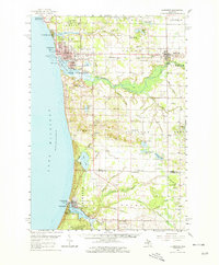
Editions of this 1959 Ludington Map
3 editions found

Other maps of this area

1931 · Custer NW
USGS Topo · 1:31,680

1931 · Hart NW
USGS Topo · 1:31,680

1931 · Custer SW
USGS Topo · 1:31,680

1931 · Manistee SE
USGS Topo · 1:31,680

1931 · Freesoil SW
USGS Topo · 1:31,680

1931 · Manistee SW
USGS Topo · 1:31,680

1931 · Hart NE
USGS Topo · 1:31,680

1931 · Walkerville NW
USGS Topo · 1:31,680

1932 · Ludington NE
USGS Topo · 1:31,680

1932 · Ludington SW
USGS Topo · 1:31,680