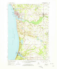
1959 Map of Ludington
USGS Topo · Published 1979About this map
The port city of Ludington serves as the industrial and transport hub of this Lake Michigan shoreline, where the Chesapeake and Ohio railroad meets the deep-water harbor at Pere Marquette Lake. The 1950s landscape is defined by its transition from a busy maritime and rail terminal to a region of established agricultural townships. Rural life is anchored by a dense network of local institutions, including the Riverton Sch, Victory Ch, and numerous township cemeteries like North Weare Cem and Summit Cem.
Find a feature on this map
86 named features on this map. Tap any name to fly to it.
Don’t see what you’re looking for? This feature index may not catch every label — zoom into the map to look around manually.
Map Details
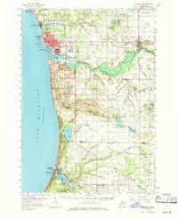
Editions of this 1959 Ludington Map
3 editions found

Other maps of this area

1931 · Custer NW
USGS Topo · 1:31,680

1931 · Hart NW
USGS Topo · 1:31,680

1931 · Custer SW
USGS Topo · 1:31,680

1931 · Manistee SE
USGS Topo · 1:31,680

1931 · Freesoil SW
USGS Topo · 1:31,680

1931 · Manistee SW
USGS Topo · 1:31,680

1931 · Hart NE
USGS Topo · 1:31,680

1931 · Walkerville NW
USGS Topo · 1:31,680

1932 · Ludington NE
USGS Topo · 1:31,680

1932 · Ludington SW
USGS Topo · 1:31,680