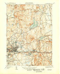
1944 Map of Ludlow
USGS Topo · Published 1944About this map
The Chicopee River valley serves as the industrial and transit corridor for this part of Hampden County, where the Boston and Albany Railroad and Central Vermont Railway converge near North Wilbraham. The map illustrates a landscape transitioning from the dense residential grids of Indian Orchard and Ludlow to the more open, upland terrain of the Facing Hills and Minechoag Mtn. To the north, the massive Springfield Reservoir dominates the drainage of Jabish Brook, while an extensive aqueduct network carries water south toward the population centers.
Find a feature on this map
83 named features on this map. Tap any name to fly to it.
Don’t see what you’re looking for? This feature index may not catch every label — zoom into the map to look around manually.
Map Details
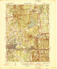
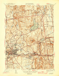
Editions of this 1944 Ludlow Map
3 editions found
Other maps of this area

1885 · Northampton
USGS Topo · 1:62,500

1886 · Springfield
USGS Topo · 1:62,500

1886 · Northampton
USGS Topo · 1:62,500

1887 · Palmer
USGS Topo · 1:62,500

1887 · Belchertown
USGS Topo · 1:62,500

1889 · Springfield
USGS Topo · 1:62,500

1889 · Palmer
USGS Topo · 1:62,500

1890 · Belchertown
USGS Topo · 1:62,500

1891 · Northampton
USGS Topo · 1:62,500

1893 · Northampton
USGS Topo · 1:62,500