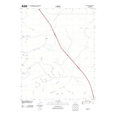
2010 Map of Ludlow
USGS Topo · Published 2010About this map
Ludlow and the surrounding southern Colorado coal country are defined by a complex network of canyons and arroyos that once supported a dense industrial landscape. This 2010 topographic record highlights the legacy of extraction in Las Animas County, where numerous mining operations like the Tabasco Mine, Berwind Mines, and Ramey Mines are concentrated along the western canyon systems. The landscape transitions from the broad Black Hills in the northeast to a series of deeply incised drainages, including Berwind Canyon and School Canyon, which feed into Berwind Arroyo and Chicosa Arroyo.
Find a feature on this map
40 named features on this map. Tap any name to fly to it.
Don’t see what you’re looking for? This feature index may not catch every label — zoom into the map to look around manually.
Map Details
Editions of this 2010 Ludlow Map
This is the sole edition of this map. No revisions or reprints were ever made.
Other maps of this area

1891 · Spanish Peaks
USGS Topo · 1:125,000

1892 · Elmoro
USGS Topo · 1:125,000

1893 · Spanish Peaks
USGS Topo · 1:125,000

1893 · Elmoro
USGS Topo · 1:125,000

1895 · Spanish Peaks
USGS Topo · 1:125,000

1897 · Elmoro
USGS Topo · 1:125,000

1897 · Spanish Peaks
USGS Topo · 1:125,000

1900 · Spanish Peaks
USGS Topo · 1:125,000

1951 · Trinidad
USGS Topo · 1:24,000

1951 · Madrid
USGS Topo · 1:24,000