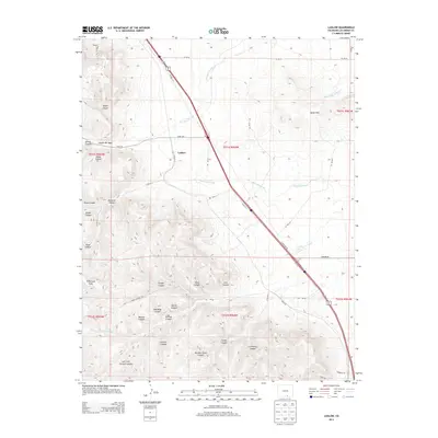
2013 Map of Ludlow
USGS Topo · Published 2013About this map
Ludlow stands as the central settlement on this landscape, positioned where the high plains meet the intricate canyon systems of Las Animas County. The geography is defined by a dense network of drainages and named breaks, including Berwind Canyon and Canyon del Agua, which cut through the terrain toward the east. These canyons often carry the names of earlier industrial or agricultural activity, such as School Canyon and Number Seven Canyon, while the broad Tollerburg Flats provide a rare stretch of level ground in the southwestern quadrant. The hydrography is dominated by ephemeral waterways like Del Aqua Arroyo and Chicosa Arroyo, which illustrate the arid drainage patterns typical of this part of southern Colorado. This survey documents the modern road network, including Hoehne Rd and Timber Canyon Rd, which navigate the complex topography between the Black Hills and the deep canyon floors.
Find a feature on this map
51 named features on this map. Tap any name to fly to it.
Don’t see what you’re looking for? This feature index may not catch every label — zoom into the map to look around manually.
Map Details
Editions of this 2013 Ludlow Map
This is the sole edition of this map. No revisions or reprints were ever made.
Other maps of this area

1891 · Spanish Peaks
USGS Topo · 1:125,000

1892 · Elmoro
USGS Topo · 1:125,000

1893 · Spanish Peaks
USGS Topo · 1:125,000

1893 · Elmoro
USGS Topo · 1:125,000

1895 · Spanish Peaks
USGS Topo · 1:125,000

1897 · Elmoro
USGS Topo · 1:125,000

1897 · Spanish Peaks
USGS Topo · 1:125,000

1900 · Spanish Peaks
USGS Topo · 1:125,000

1951 · Trinidad
USGS Topo · 1:24,000

1951 · Madrid
USGS Topo · 1:24,000