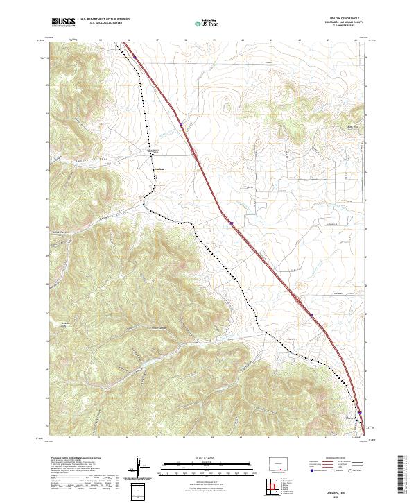
2022 Map of Ludlow
USGS Topo · Published 2022About this map
The Ludlow Massacre Memorial Site marks a pivotal location in American labor history, situated near the settlement of Ludlow. This high-desert landscape in Las Animas County is defined by a complex network of arroyos and canyons that carve through the terrain, including Del Aqua Arroyo and the deep incisions of Canyon del Agua. The map reveals the historical transit and settlement patterns of the region, where routes like the Old Wagon Trail Rd and Tollerburg Rd navigate around the Tollerburg Flats. To the south and west, the topography becomes increasingly intricate with numerous named drainages such as Wildcat Canyon, Martin Canyon, and Number Seven Canyon, which transition into the more elevated Black Hills region. This survey captures a terrain where industrial history and natural drainage systems intersect, providing a clear view of the area's geographic character.
Find a feature on this map
67 named features on this map. Tap any name to fly to it.
Don’t see what you’re looking for? This feature index may not catch every label — zoom into the map to look around manually.
Map Details
Editions of this 2022 Ludlow Map
This is the sole edition of this map. No revisions or reprints were ever made.
Other maps of this area

1891 · Spanish Peaks
USGS Topo · 1:125,000

1892 · Elmoro
USGS Topo · 1:125,000

1893 · Spanish Peaks
USGS Topo · 1:125,000

1893 · Elmoro
USGS Topo · 1:125,000

1895 · Spanish Peaks
USGS Topo · 1:125,000

1897 · Elmoro
USGS Topo · 1:125,000

1897 · Spanish Peaks
USGS Topo · 1:125,000

1900 · Spanish Peaks
USGS Topo · 1:125,000

1951 · Trinidad
USGS Topo · 1:24,000

1951 · Madrid
USGS Topo · 1:24,000