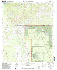
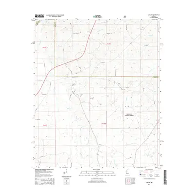
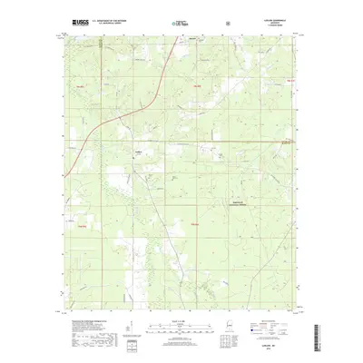
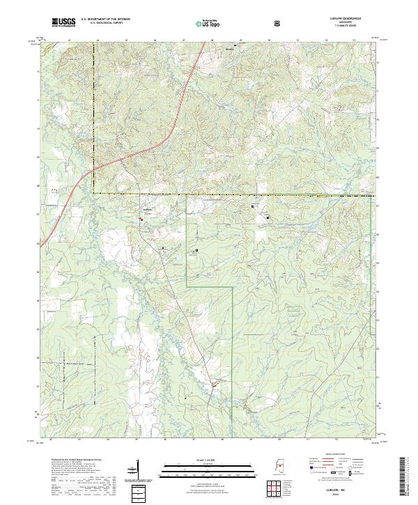
2000 Map of Ludlow
USGS Topo · Published 2002About this map
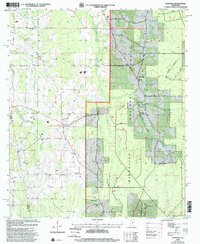
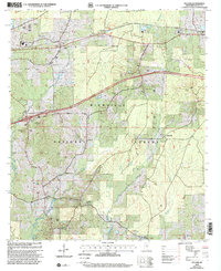
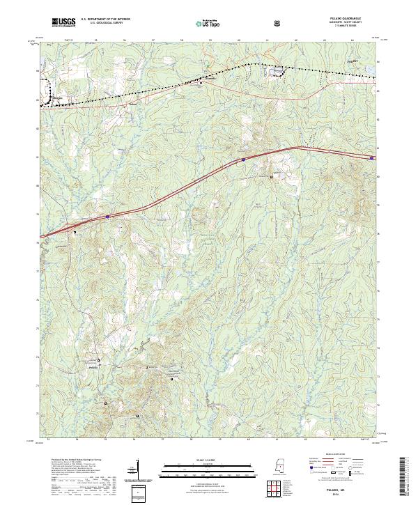
The Ludlow settlement serves as the focal point for this survey of the Mississippi interior at the turn of the millennium. Located where the boundaries of Scott, Leake, and Madison counties converge, the landscape is defined by the dense woodlands of the Bienville National Forest and the winding course of the Pearl River in the northwest. This rural community is anchored by local landmarks like the Po and Substations, alongside numerous country churches that have historically served the surrounding farmsteads.
Find a feature on this map
27 named features on this map. Tap any name to fly to it.
Don’t see what you’re looking for? This feature index may not catch every label — zoom into the map to look around manually.
Map Details
Editions of this 2000 Ludlow Map
This is the sole edition of this map. No revisions or reprints were ever made.
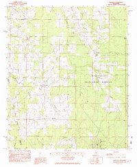
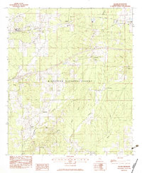
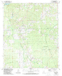
Historical Maps of Ludlow Through Time
21 maps found
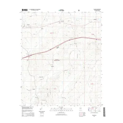
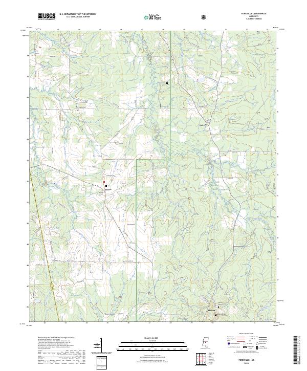
1982 Forkville
Scott County, MS
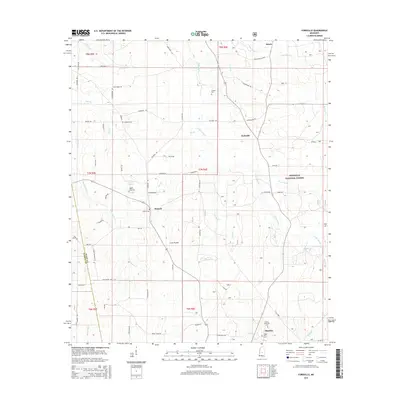
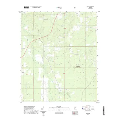
1982 Pulaski
Scott County, MS
1989 Ludlow
Scott County, MS
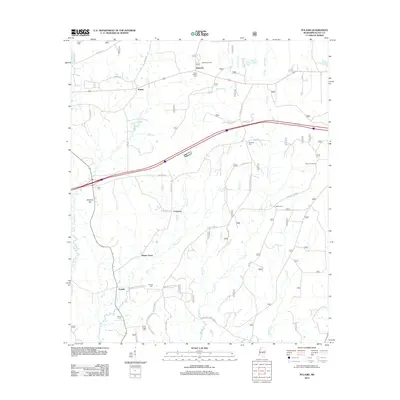
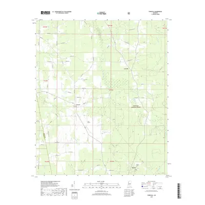
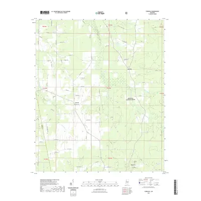
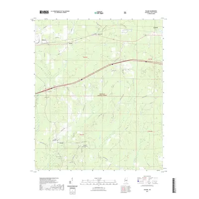
2000 Forkville
Scott County, MS
2000 Ludlow
Scott County, MS
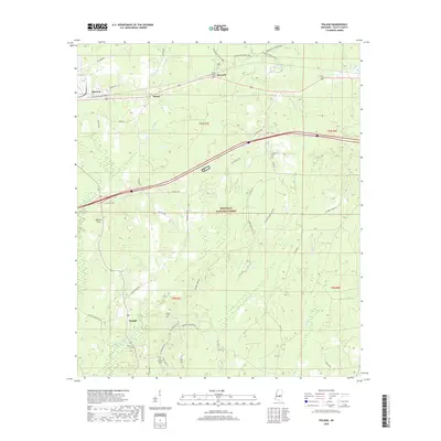
2000 Pulaski
Scott County, MS
2012 Forkville
Scott County, MS
2012 Ludlow
Scott County, MS
2012 Pulaski
Scott County, MS
2015 Forkville
Scott County, MS
2015 Ludlow
Scott County, MS
2015 Pulaski
Scott County, MS
2018 Forkville
Scott County, MS
2018 Ludlow
Scott County, MS
2018 Pulaski
Scott County, MS
2021 Forkville
Scott County, MS
2021 Ludlow
Scott County, MS
2021 Pulaski
Scott County, MS
2024 Forkville
Scott County, MS
2024 Ludlow
Scott County, MS
2024 Pulaski
Scott County, MS