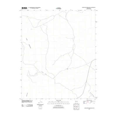
2010 Map of Luera Mountains East
USGS Topo · Published 2010About this map
Luera Ranch sits at the heart of this high-desert landscape in Catron County, representing the long-standing ranching tradition of the region. The map details the drainage patterns and rugged topography of the Luera Mountains, where seasonal water sources like Luera Spring provide critical resources in an arid environment. Deep-cut geological features such as Patrocino Canyon, Bathtub Canyon, and Indian Spring Canyon carve through the terrain, illustrating the natural erosion processes that define the New Mexico backcountry. The network of unimproved roads and tracks shown here reflects a landscape managed for cattle and conservation, largely unchanged in its primary uses over several decades.
Find a feature on this map
6 named features on this map. Tap any name to fly to it.
Don’t see what you’re looking for? This feature index may not catch every label — zoom into the map to look around manually.
Map Details
Editions of this 2010 Luera Mountains East Map
This is the sole edition of this map. No revisions or reprints were ever made.
Other maps of this area

1954 · Tularosa
USGS Topo · 1:250,000

1958 · Tularosa
USGS Topo · 1:250,000

1965 · Oak Peak
USGS Topo · 1:24,000
1965 · Kellog Well
USGS Topo · 1:24,000

1965 · Dusty
USGS Topo · 1:24,000

1979 · San Mateo Mountains
USGS Topo · 1:100,000
1981 · Luera Mountains NW
USGS Topo · 1:24,000
1981 · Mojonera Canyon
USGS Topo · 1:24,000
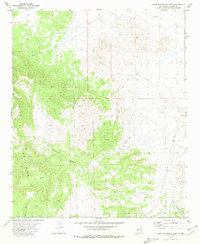
1981 · Luera Mountains East
USGS Topo · 1:24,000
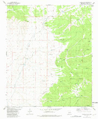
1981 · Paddys Hole
USGS Topo · 1:24,000