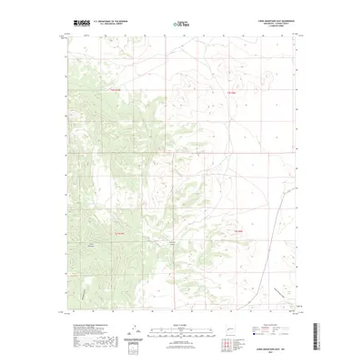
2023 Map of Luera Mountains East
USGS Topo · Published 2023About this map
The Luera Mountains dominate this high-altitude landscape in New Mexico, where the terrain is defined by complex drainage systems and isolated water sources. This 2023 survey illustrates a semi-arid environment where land use and survival historically hinged on features like Luera Spring and Indian Springs. The topography is marked by significant elevation changes, with Patrocino Canyon and Bathtub Canyon cutting through the mountainous backdrop. These natural features provided the primary navigational and structural points for ranching and public land management in this portion of Catron County. The map also delineates Indian Spring Canyon, showing the varied relief that characterizes the eastern slopes of this range.
Find a feature on this map
10 named features on this map. Tap any name to fly to it.
Don’t see what you’re looking for? This feature index may not catch every label — zoom into the map to look around manually.
Map Details
Editions of this 2023 Luera Mountains East Map
This is the sole edition of this map. No revisions or reprints were ever made.
Other maps of this area

1954 · Tularosa
USGS Topo · 1:250,000

1958 · Tularosa
USGS Topo · 1:250,000

1965 · Oak Peak
USGS Topo · 1:24,000
1965 · Kellog Well
USGS Topo · 1:24,000

1965 · Dusty
USGS Topo · 1:24,000

1979 · San Mateo Mountains
USGS Topo · 1:100,000
1981 · Luera Mountains NW
USGS Topo · 1:24,000
1981 · Mojonera Canyon
USGS Topo · 1:24,000
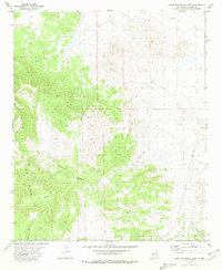
1981 · Luera Mountains East
USGS Topo · 1:24,000
1981 · Paddys Hole
USGS Topo · 1:24,000