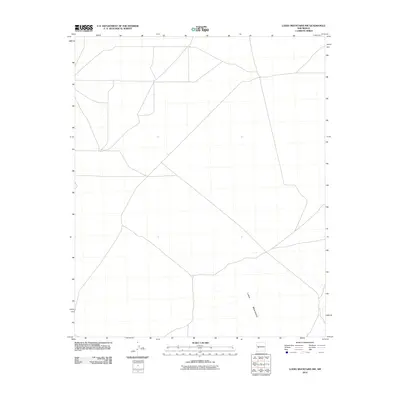
2010 Map of Luera Mountains NW
USGS Topo · Published 2010About this map
Luera Mountains terrain defines this portion of Catron County, New Mexico. The 2010 survey illustrates a sparse, high-desert landscape marked primarily by a network of unimproved roads and physical relief. The southeastern corner is anchored by the northern reaches of the Luera Mountains, while the remainder of the quadrangle shows the open drainage patterns and alluvial fans extending across the basin. This map serves as a primary record of the modern rural infrastructure and land use in this specific corner of the Southwest, where the environment dictates the layout of the minimal transit routes.
Find a feature on this map
1 named feature on this map. Tap any name to fly to it.
Don’t see what you’re looking for? This feature index may not catch every label — zoom into the map to look around manually.
Map Details
Editions of this 2010 Luera Mountains NW Map
This is the sole edition of this map. No revisions or reprints were ever made.
Other maps of this area

1918 · Pelona
USGS Topo · 1:125,000

1954 · Tularosa
USGS Topo · 1:250,000

1954 · Clifton
USGS Topo · 1:250,000

1954 · Saint Johns
USGS Topo · 1:250,000

1954 · Socorro
USGS Topo · 1:250,000

1957 · Clifton
USGS Topo · 1:250,000

1957 · Saint Johns
USGS Topo · 1:250,000

1958 · Socorro
USGS Topo · 1:250,000

1958 · Clifton
USGS Topo · 1:250,000

1958 · Tularosa
USGS Topo · 1:250,000