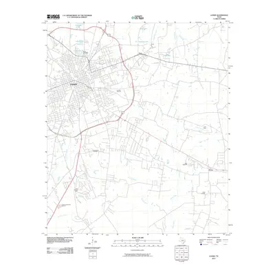
2010 Map of Lufkin
USGS Topo · Published 2010About this map
Lufkin anchors this portion of East Texas, showing the city's residential and commercial expansion into the surrounding Piney Woods by the early 21st century. The map details the transition from the dense urban grid of Lufkin to smaller outlying communities like Herty and Homer. Water management is a defining characteristic of the local landscape, evidenced by numerous named reservoirs and creeks including City Lake, Lake Myriad, and Robinson Lake.
Find a feature on this map
26 named features on this map. Tap any name to fly to it.
Don’t see what you’re looking for? This feature index may not catch every label — zoom into the map to look around manually.
Map Details
Editions of this 2010 Lufkin Map
This is the sole edition of this map. No revisions or reprints were ever made.
Other maps of this area

1932 · Manning
USGS Topo · 1:62,500

1949 · Lufkin
USGS Topo · 1:62,500

1949 · Platt
USGS Topo · 1:24,000

1949 · Clawson
USGS Topo · 1:24,000

1949 · Lufkin
USGS Topo · 1:24,000

1949 · Huntington
USGS Topo · 1:24,000

1949 · Keltys
USGS Topo · 1:24,000

1950 · Platt
USGS Topo · 1:24,000

1950 · Keltys
USGS Topo · 1:24,000

1950 · Lufkin
USGS Topo · 1:24,000