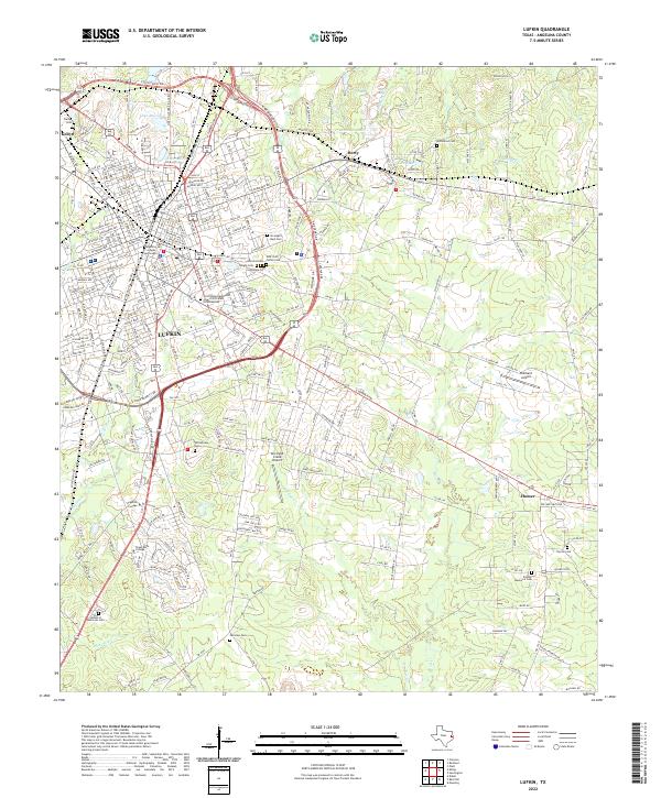
2022 Map of Lufkin
USGS Topo · Published 2022About this map
The Angelina County Courthouse serves as the focal point for Lufkin in this 2022 survey, surrounded by established neighborhoods and industrial corridors. The map details the urban core and its expansion toward outlying settlements like Homer and Herty. Educational institutions including Angelina College and Texas Bible College anchor the southern landscape, while the local aviation history is represented by Hubbard Airport and the uniquely named One Eyed Creek Airport.
Find a feature on this map
154 named features on this map. Tap any name to fly to it.
Don’t see what you’re looking for? This feature index may not catch every label — zoom into the map to look around manually.
Map Details
Editions of this 2022 Lufkin Map
This is the sole edition of this map. No revisions or reprints were ever made.
Other maps of this area

1932 · Manning
USGS Topo · 1:62,500

1949 · Lufkin
USGS Topo · 1:62,500

1949 · Platt
USGS Topo · 1:24,000

1949 · Clawson
USGS Topo · 1:24,000

1949 · Lufkin
USGS Topo · 1:24,000

1949 · Huntington
USGS Topo · 1:24,000

1949 · Keltys
USGS Topo · 1:24,000

1950 · Platt
USGS Topo · 1:24,000

1950 · Keltys
USGS Topo · 1:24,000

1950 · Lufkin
USGS Topo · 1:24,000