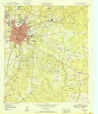
1950 Map of Lufkin
USGS Topo · Published 1950About this map
Lufkin stands at the center of this mid-century survey, revealing a landscape shaped by early timber industry and a dense network of railroads including the Texas and New Orleans and the St Louis Southwestern. The map provides significant genealogical value through its documentation of rural life in Angelina County, recording numerous community anchors such as Harbucks Chapel, McKindree Ch, and Pleasant Grove Ch.
Find a feature on this map
53 named features on this map. Tap any name to fly to it.
Don’t see what you’re looking for? This feature index may not catch every label — zoom into the map to look around manually.
Map Details
Editions of this 1950 Lufkin Map
This is the sole edition of this map. No revisions or reprints were ever made.
Other maps of this area
1932 · Manning
USGS Topo · 1:62,500
1949 · Lufkin
USGS Topo · 1:62,500
1949 · Platt
USGS Topo · 1:24,000
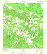
1949 · Clawson
USGS Topo · 1:24,000
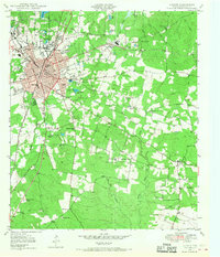
1949 · Lufkin
USGS Topo · 1:24,000
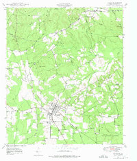
1949 · Huntington
USGS Topo · 1:24,000
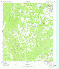
1949 · Keltys
USGS Topo · 1:24,000
1950 · Platt
USGS Topo · 1:24,000
1950 · Keltys
USGS Topo · 1:24,000
1950 · Clawson
USGS Topo · 1:24,000