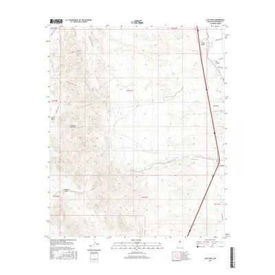
2017 Map of Luis Lopez
USGS Topo · Published 2017About this map
Luis Lopez sits at the edge of the Rio Grande valley, serving as a focal point for this high-desert landscape in central New Mexico. The map details the transition from the irrigated valley floors near Cam Luis Lopez and Farm Market Rd to the arid elevations of the Chupadera Mountains. To the west, the terrain rises into complex ridges and drainages including Madera Canyon and Red Canyon, where water sources like Chupadera Spring, Montoya Tank, and Miera Tank were critical landmarks for ranching and travel. This 2017 survey illustrates a modern infrastructure of roads such as the Chupadera Crossing Loop and Torreon Springs Rd laid over a traditional landscape of canyons and seasonal drainages like Walnut Creek. The settlement of Rincon Madera further highlights the scattered habitation patterns found within these mountain foothills.
Find a feature on this map
25 named features on this map. Tap any name to fly to it.
Don’t see what you’re looking for? This feature index may not catch every label — zoom into the map to look around manually.
Map Details
Editions of this 2017 Luis Lopez Map
This is the sole edition of this map. No revisions or reprints were ever made.
Other maps of this area
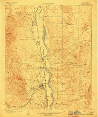
1906 · Socorro
USGS Topo · 1:62,500
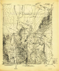
1916 · La Joya
USGS Topo · 1:125,000
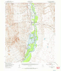
1948 · San Antonio
USGS Topo · 1:62,500

1954 · Tularosa
USGS Topo · 1:250,000

1954 · Socorro
USGS Topo · 1:250,000

1958 · Socorro
USGS Topo · 1:250,000

1958 · Tularosa
USGS Topo · 1:250,000
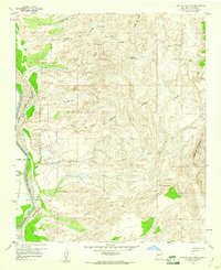
1959 · Loma De Las Canas
USGS Topo · 1:24,000
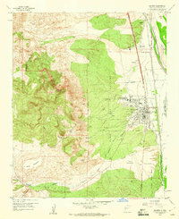
1959 · Socorro
USGS Topo · 1:24,000
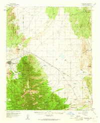
1959 · Magdalena
USGS Topo · 1:62,500