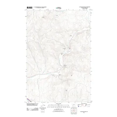
2011 Map of Luke Mountain
USGS Topo · Published 2011About this map
Luke Mountain dominates this portion of Powell County, where the high country topography meets the transportation corridors of the western Montana valleys. The Little Blackfoot River meanders through the central landscape, accompanied by critical infrastructure such as the Little Blackfoot River Bridge and the Northern Pacific Railroad Overpass. This corridor represents a historical junction of rail and river travel, where the legacy of the Northern Pacific Railroad intersects with modern thoroughfares.
Find a feature on this map
24 named features on this map. Tap any name to fly to it.
Don’t see what you’re looking for? This feature index may not catch every label — zoom into the map to look around manually.
Map Details
Editions of this 2011 Luke Mountain Map
This is the sole edition of this map. No revisions or reprints were ever made.
Other maps of this area
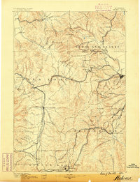
1889 · Helena
USGS Topo · 1:250,000
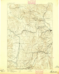
1893 · Helena
USGS Topo · 1:250,000
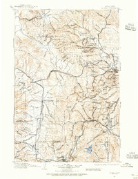
1899 · Helena
USGS Topo · 1:250,000
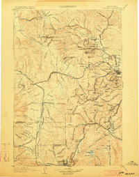
1903 · Helena
USGS Topo · 1:250,000
1947 · Butte
USGS Topo · 1:250,000
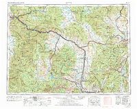
1958 · Butte
USGS Topo · 1:250,000
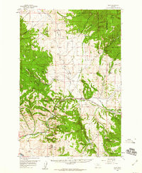
1958 · Avon
USGS Topo · 1:62,500
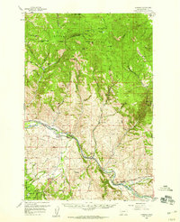
1958 · Garrison
USGS Topo · 1:62,500
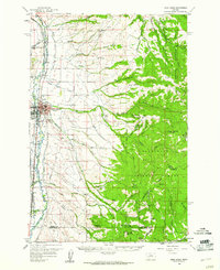
1959 · Deer Lodge
USGS Topo · 1:62,500
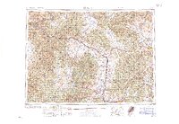
1960 · Butte
USGS Topo · 1:250,000