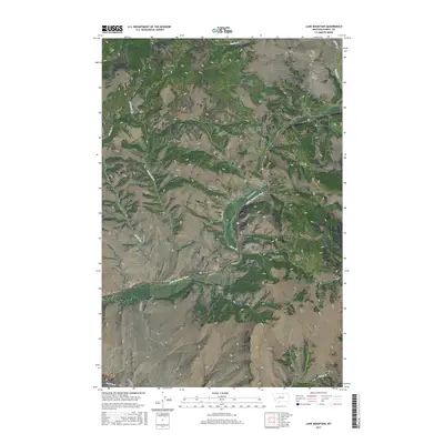
2017 Map of Luke Mountain
USGS Topo · Published 2017About this map
The Little Blackfoot River carves through this rugged Montana landscape, serving as a primary corridor for both historical and modern travel. The legacy of the West's rail expansion is evidenced by the Northern Pacific Railroad Overpass, which crosses the terrain near the Little Blackfoot River Bridge. Steep drainages like Shearing Plant Gulch and Homestead Gulch underscore the area's agricultural and ranching history. High points such as Luke Mtn and Castle Rock dominate the skyline, while smaller watercourses including Gimlet Cr and Sixmile Cr feed into the larger river systems. The southern portion of the sheet features the Clark Fork and landmarks like Rocky Ridge, illustrating the complex topography that shaped local land use and transit routes.
Find a feature on this map
29 named features on this map. Tap any name to fly to it.
Don’t see what you’re looking for? This feature index may not catch every label — zoom into the map to look around manually.
Map Details
Editions of this 2017 Luke Mountain Map
This is the sole edition of this map. No revisions or reprints were ever made.
Other maps of this area
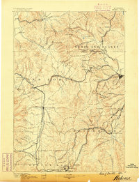
1889 · Helena
USGS Topo · 1:250,000
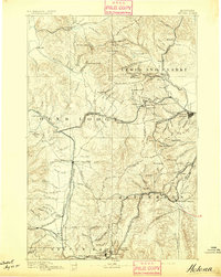
1893 · Helena
USGS Topo · 1:250,000
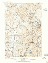
1899 · Helena
USGS Topo · 1:250,000
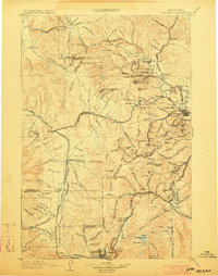
1903 · Helena
USGS Topo · 1:250,000
1947 · Butte
USGS Topo · 1:250,000
1958 · Butte
USGS Topo · 1:250,000
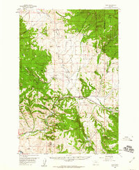
1958 · Avon
USGS Topo · 1:62,500
1958 · Garrison
USGS Topo · 1:62,500
1959 · Deer Lodge
USGS Topo · 1:62,500
1960 · Butte
USGS Topo · 1:250,000