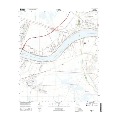
2015 Map of Luling
USGS Topo · Published 2015About this map
The Mississippi River carves through this Louisiana landscape, separating a series of riverfront communities including Destrehan, Saint Rose, and Ama. This area in St. Charles Parish and Jefferson Parish exhibits a traditional riverine settlement pattern, where development clings to the natural levees and modern infrastructure like the Hale Boggs Memorial Bridge and the Illinois Central Railroad now facilitate transport across the low-lying wetlands. South of the river, the expansive Davis Pond and the Davis Crevasse indicate the delicate hydrologic balance of the delta, with numerous canals such as Sellers Canal and Lanaux Canal threading through the marshes.
Find a feature on this map
160 named features on this map. Tap any name to fly to it.
Don’t see what you’re looking for? This feature index may not catch every label — zoom into the map to look around manually.
Map Details
Editions of this 2015 Luling Map
This is the sole edition of this map. No revisions or reprints were ever made.
Other maps of this area

1891 · Hahnville
USGS Topo · 1:62,500

1891 · Spanish Fort
USGS Topo · 1:62,500

1891 · New Orleans
USGS Topo · 1:62,500

1892 · Bonnet Carre
USGS Topo · 1:62,500

1932 · New Orleans NW
USGS Topo · 1:31,680

1932 · New Orleans SW
USGS Topo · 1:31,680

1932 · Hahnville NW
USGS Topo · 1:31,680

1932 · Hahnville SW
USGS Topo · 1:31,680

1932 · Hahnville NE
USGS Topo · 1:31,680

1935 · Laplace
USGS Topo · 1:31,680