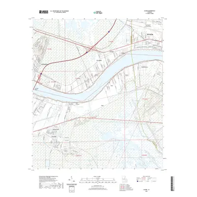
2020 Map of Luling
USGS Topo · Published 2020About this map
The Mississippi River creates a winding divide through the landscape, separating the communities of Luling and Destrehan in this modern survey. On the north bank, the suburban and industrial corridors of St. Rose and Almedia are defined by major transit arteries like Airline Dr and the southern reaches of the Louis Armstrong New Orleans International Airport. This riverfront environment is characterized by complex hydrology, including the Davis Crevasse and the expansive Davis Pond, which illustrate the delicate balance of land and water in the region.
Find a feature on this map
46 named features on this map. Tap any name to fly to it.
Don’t see what you’re looking for? This feature index may not catch every label — zoom into the map to look around manually.
Map Details
Editions of this 2020 Luling Map
This is the sole edition of this map. No revisions or reprints were ever made.
Other maps of this area
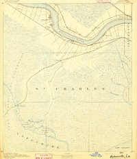
1891 · Hahnville
USGS Topo · 1:62,500
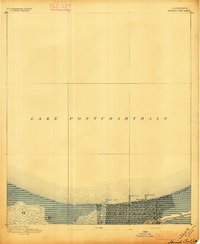
1891 · Spanish Fort
USGS Topo · 1:62,500
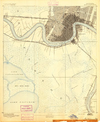
1891 · New Orleans
USGS Topo · 1:62,500
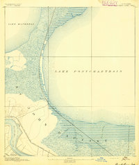
1892 · Bonnet Carre
USGS Topo · 1:62,500
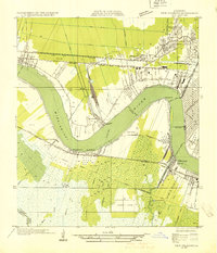
1932 · New Orleans NW
USGS Topo · 1:31,680
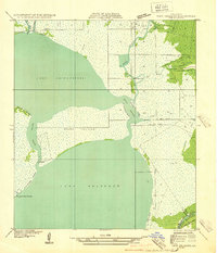
1932 · New Orleans SW
USGS Topo · 1:31,680
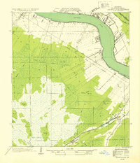
1932 · Hahnville NW
USGS Topo · 1:31,680
1932 · Hahnville SW
USGS Topo · 1:31,680
1932 · Hahnville NE
USGS Topo · 1:31,680
1935 · Laplace
USGS Topo · 1:31,680