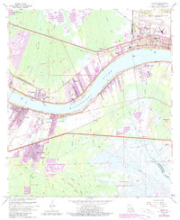
2024 Map of Luling
USGS Topo · Published 2024About this map
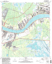
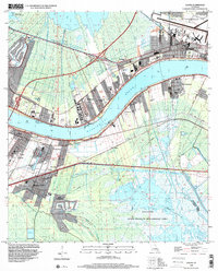
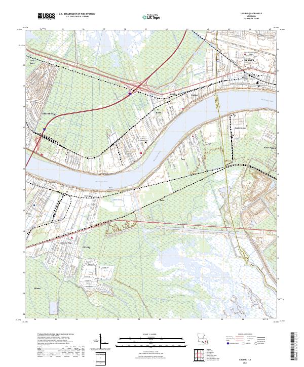
The Mississippi River defines this portion of the River Parishes, bisecting a landscape characterized by industrial development and traditional riverfront settlements. On the east bank, the communities of Destrehan and St. Rose flank the river road, while the sprawling grounds of the Louis Armstrong New Orleans International Airport occupy the northeastern corner near Kenner. This modern survey illustrates the complex drainage network required for this low-lying region, featuring numerous engineered waterways like the Sellers Canal and Walker Canal that cut through the wetlands north and south of the river.
Find a feature on this map
176 named features on this map. Tap any name to fly to it.
Don’t see what you’re looking for? This feature index may not catch every label — zoom into the map to look around manually.
Map Details
Editions of this 2024 Luling Map
This is the sole edition of this map. No revisions or reprints were ever made.
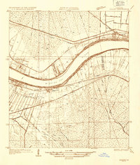
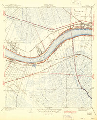
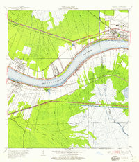
Historical Maps of Davis Plantation Through Time
7 maps found