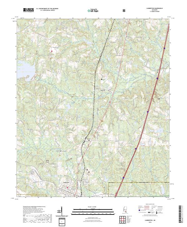
2024 Map of Lumberton
USGS Topo · Published 2024About this map
Lumberton serves as the primary hub of activity on this sheet, positioned at the intersection of the Lamar and Pearl River county lines. The landscape is defined by the winding course of Little Black Creek and its many tributaries, such as Beaverdam Branch and Parker Creek. Smaller community clusters like Seneca, Talowah, and Wells Town are scattered throughout the region, often identified by their proximity to local family burial grounds.
Find a feature on this map
112 named features on this map. Tap any name to fly to it.
Don’t see what you’re looking for? This feature index may not catch every label — zoom into the map to look around manually.
Map Details
Editions of this 2024 Lumberton Map
This is the sole edition of this map. No revisions or reprints were ever made.
Other maps of this area

1953 · Hattiesburg
USGS Topo · 1:250,000

1953 · Mobile
USGS Topo · 1:250,000

1957 · Mobile
USGS Topo · 1:250,000

1958 · Hattiesburg
USGS Topo · 1:250,000

1958 · Carnes
USGS Topo · 1:62,500

1959 · Poplarville
USGS Topo · 1:62,500

1960 · Mobile
USGS Topo · 1:250,000

1963 · Mobile
USGS Topo · 1:250,000

1963 · Rock Hill
USGS Topo · 1:24,000

1964 · Purvis
USGS Topo · 1:24,000