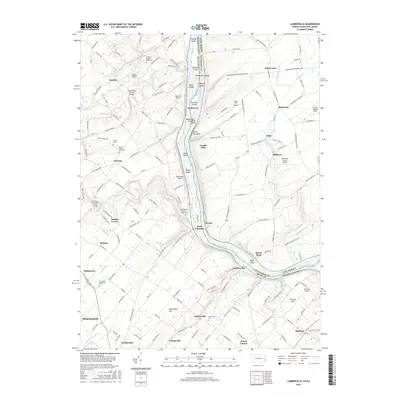
2016 Map of Lumberville
USGS Topo · Published 2016About this map
The Delaware River serves as the central artery for this region of Pennsylvania and New Jersey, defining the border between Bucks and Hunterdon counties. Notable riverine features such as Bulls Island, Marshall Island, and the Delaware and Raritan Canal illustrate the historical reliance on water for transport and industry. Along the western banks, the landscape is punctuated by timber-framed engineering, including the Frankenfield Covered Bridge crossing Tinicum Cr and the Cabin Run Covered Bridge.
Find a feature on this map
159 named features on this map. Tap any name to fly to it.
Don’t see what you’re looking for? This feature index may not catch every label — zoom into the map to look around manually.
Map Details
Editions of this 2016 Lumberville Map
This is the sole edition of this map. No revisions or reprints were ever made.
Other maps of this area

1890 · Easton
USGS Topo · 1:62,500

1890 · High Bridge
USGS Topo · 1:62,500

1890 · Lambertville
USGS Topo · 1:62,500

1890 · Doylestown
USGS Topo · 1:62,500

1891 · Easton
USGS Topo · 1:62,500

1891 · Lambertville
USGS Topo · 1:62,500

1891 · Doylestown
USGS Topo · 1:62,500

1894 · Lambertville
USGS Topo · 1:62,500

1898 · High Bridge
USGS Topo · 1:62,500

1900 · Raritan
USGS Topo · 1:125,000
Featured Places
- Buckingham Township, PA
- Solebury Township, PA
- Bedminster Township, PA
- Tinicum Township, PA
- Kingwood Township, NJ