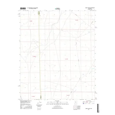
2017 Map of Lumley Lake NE
USGS Topo · Published 2017About this map
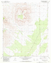
The Sierra Co Otero Co boundary line cuts through this high desert terrain in south-central New Mexico, marking a landscape defined by water management and military restricted-access infrastructure. Small catchments and ephemeral water sources such as Crossroad Tank, Big Tank, and Turner Lake are scattered across the arid plains, indicating the critical nature of water for both wildlife and regional land use.
Find a feature on this map
15 named features on this map. Tap any name to fly to it.
Don’t see what you’re looking for? This feature index may not catch every label — zoom into the map to look around manually.
Map Details
Editions of this 2017 Lumley Lake NE Map
This is the sole edition of this map. No revisions or reprints were ever made.
Other maps of this area
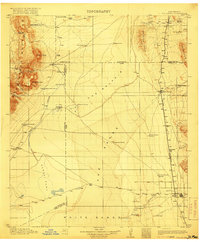
1916 · Tularosa
USGS Topo · 1:125,000
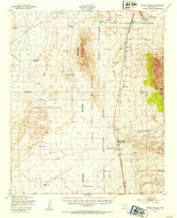
1947 · Three Rivers
USGS Topo · 1:62,500
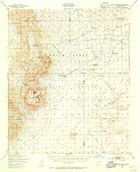
1947 · Capitol Peak
USGS Topo · 1:62,500
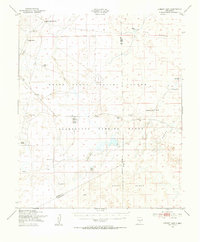
1948 · Lumley Lake
USGS Topo · 1:62,500
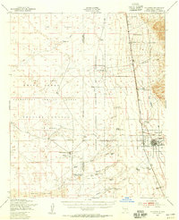
1948 · Tularosa
USGS Topo · 1:62,500

1954 · Tularosa
USGS Topo · 1:250,000

1958 · Tularosa
USGS Topo · 1:250,000
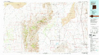
1981 · Tularosa
USGS Topo · 1:100,000
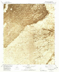
1981 · Three Rivers SW
USGS Topo · 1:24,000
1981 · Sheep Mountain
USGS Topo · 1:24,000