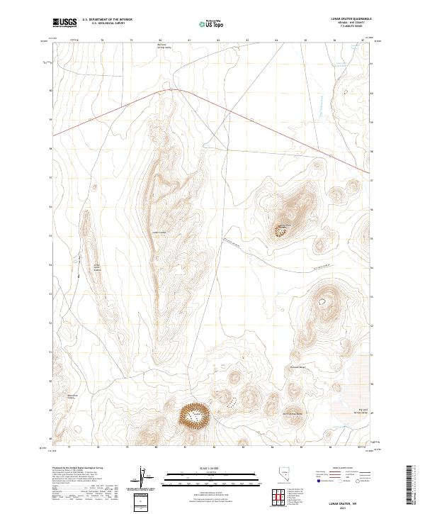
2021 Map of Lunar Crater
USGS Topo · Published 2021About this map
Lunar Crater and the distinctive Easy Chair Crater define this volcanic field in the high desert of Nye County. The 2021 topography emphasizes the geological complexity of the Pancake Range, where dramatic escarpments like Lunar Cuesta and Little Lunar Cuesta rise above the flat basins of Big Sand Springs Valley. This landscape is shaped by ancient eruptive activity, visible in the perfectly circular basins and the jagged edges of Monocline Canyon.
Find a feature on this map
18 named features on this map. Tap any name to fly to it.
Don’t see what you’re looking for? This feature index may not catch every label — zoom into the map to look around manually.
Map Details
Editions of this 2021 Lunar Crater Map
This is the sole edition of this map. No revisions or reprints were ever made.
Other maps of this area

1956 · Lund
USGS Topo · 1:250,000

1956 · Tonopah
USGS Topo · 1:250,000

1959 · Tonopah
USGS Topo · 1:250,000

1960 · Lund
USGS Topo · 1:250,000

1962 · Tonopah
USGS Topo · 1:250,000

1967 · Lunar Crater
USGS Topo · 1:62,500

1967 · Moores Station
USGS Topo · 1:62,500

1967 · Moores Station SE
USGS Topo · 1:24,000

1967 · Buckwheat Rim
USGS Topo · 1:24,000

1967 · Palisade Mesa
USGS Topo · 1:24,000