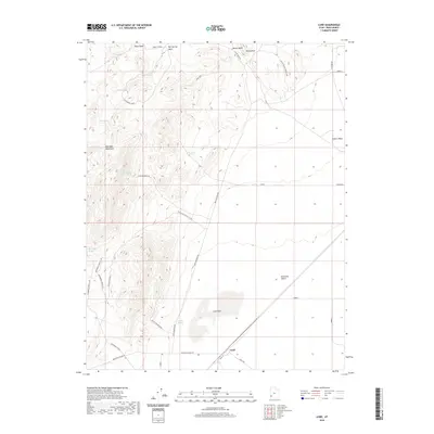
2020 Map of Lund
USGS Topo · Published 2020About this map
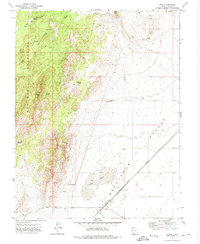
Lund sits at the edge of the Escalante Desert in this high-desert landscape where the Wah Wah Mountains rise to the west. This modern survey illustrates the critical role of water management in the arid Great Basin, where named water sources like Leigh Well, Cattle Spring, and Lyman Well define the utility of the land. The settlement at Lund is the focal point of local transportation, serving as the junction for Lund Hwy, Main St, and Mountain Spring Rd.
Find a feature on this map
35 named features on this map. Tap any name to fly to it.
Don’t see what you’re looking for? This feature index may not catch every label — zoom into the map to look around manually.
Map Details
Editions of this 2020 Lund Map
This is the sole edition of this map. No revisions or reprints were ever made.
Other maps of this area
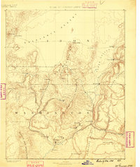
1885 · St. George
USGS Topo · 1:250,000
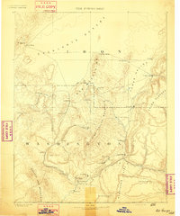
1891 · St. George
USGS Topo · 1:250,000
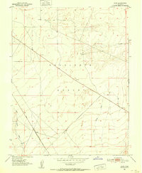
1951 · Avon
USGS Topo · 1:24,000
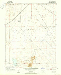
1951 · Avon NW
USGS Topo · 1:24,000

1953 · Richfield
USGS Topo · 1:250,000
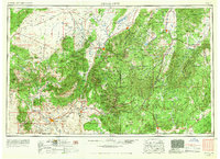
1953 · Cedar City
USGS Topo · 1:250,000

1958 · Richfield
USGS Topo · 1:250,000
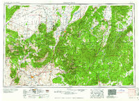
1958 · Cedar City
USGS Topo · 1:250,000
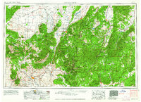
1962 · Cedar City
USGS Topo · 1:250,000
1971 · Lund
USGS Topo · 1:24,000